
BMKG Urges Fishermen to Observe Safe Sailing Limits
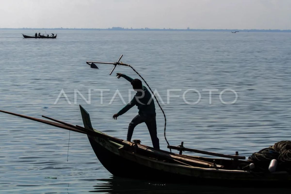
The Meteorology, Climatology and Geophysics Agency (BMKG) has reminded fishermen and marine transport operators to observe safe operational limits for their fleets following the potential for high waves in several Indonesian waters from 9 to 12 June 2026. Agie Wandala Putra, Acting Director of Maritime Meteorology at BMKG, stated in Jakarta on Tuesday that potential waves of up to four metres pose a significant risk to shipping safety, requiring each type of vessel to pay attention to its respective technical limitations. He urged constant vigilance, particularly for fishermen operating with transport modes such as fishing boats, noting that wind speeds over 15 knots and wave heights above 1.25 metres present a high risk to safety. High risks also threaten larger transport modes, with barge operators requested to be cautious if wind speeds exceed 16 knots and wave heights surpass 1.5 metres. Based on BMKG monitoring data, high waves ranging from 2.5 metres to 4.0 metres are predicted in the Indian Ocean west of the Mentawai Islands, Bengkulu, and Lampung, as well as in the Indian Ocean south of Java to East Nusa Tenggara. This is triggered by strong wind patterns in the southern region blowing up to 25 knots. Meanwhile, waves in the range of 1.25 metres to 2.5 metres are likely to occur in the northern Malacca Strait, the Indian Ocean west of Aceh and the Nias Islands, the Banda Sea, the Arafura Sea, and the Pacific Ocean north of Papua, due to the push of southeast-southwest winds reaching speeds of up to 20 knots. According to analysis by the Centre for Maritime Meteorology, the highest wind speeds are currently monitored to be concentrated in the Natuna Sea, the Indian Ocean west of the Mentawai Islands, and the Arafura Sea.