
BMKG: Tropical Cyclone Seed 94W Triggers Heavy Rain in Sumatra
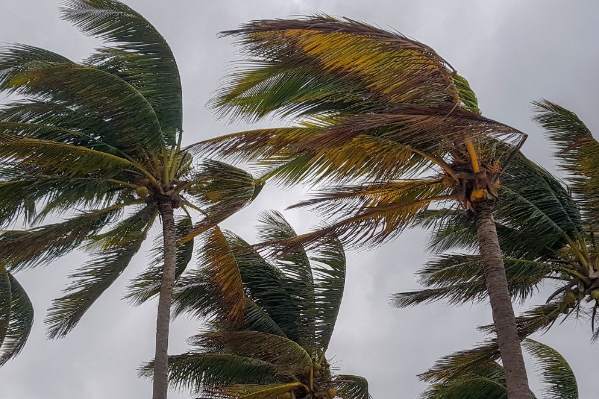
Jakarta (ANTARA) – The Meteorology, Climatology, and Geophysics Agency (BMKG) has detected the emergence of Tropical Cyclone Seed 94W over the Philippine Sea, which has the potential to trigger increased heavy rainfall in a number of Indonesian regions.
BMKG forecaster Henokhavita, in a weather update monitored in Jakarta on Monday, said the cyclone seed was observed to have maximum wind speeds of 25 knots with atmospheric pressure of 1006 hectopascals (hPa).
“Tropical Cyclone Seed 94W is moving towards the west-northwest and forming areas of convergence and confluence that significantly increase the potential for rain cloud growth,” she said.
She explained that the combination of atmospheric dynamics from the cyclone seed’s movement system gives rise to the potential for heavy to very heavy rainfall, particularly in Aceh, North Sumatra and West Sumatra.
In addition to being driven by Cyclone Seed 94W, areas of wind speed deceleration, or convergence, have also formed stretching along the west coast of Aceh, West Kalimantan, Central Kalimantan, East Kalimantan, and the western part of the Java Sea.
For the weather forecast in major cities in western Indonesia, BMKG predicts the potential for rain accompanied by thunderstorms in Padang and Pontianak, as well as moderate rain in Bengkulu.
Light-intensity rain is likely to fall on Medan, Pekanbaru, Tanjung Pinang, Jambi, Bandar Lampung, Serang, Semarang and Tanjung Selor.
Jakarta, Bandung, Yogyakarta, Surabaya, Palembang and Banjarmasin are predicted to experience predominantly cloudy to thickly cloudy weather throughout the day.
BMKG urged regional governments and communities in areas exposed to the potential heavy rainfall to improve their preparedness in anticipation of hydrometeorological disaster risks.