
BMKG: The western Indian Ocean off Aceh and the southern Indian Ocean off East Nusa Tenggara are the areas most at risk of high waves
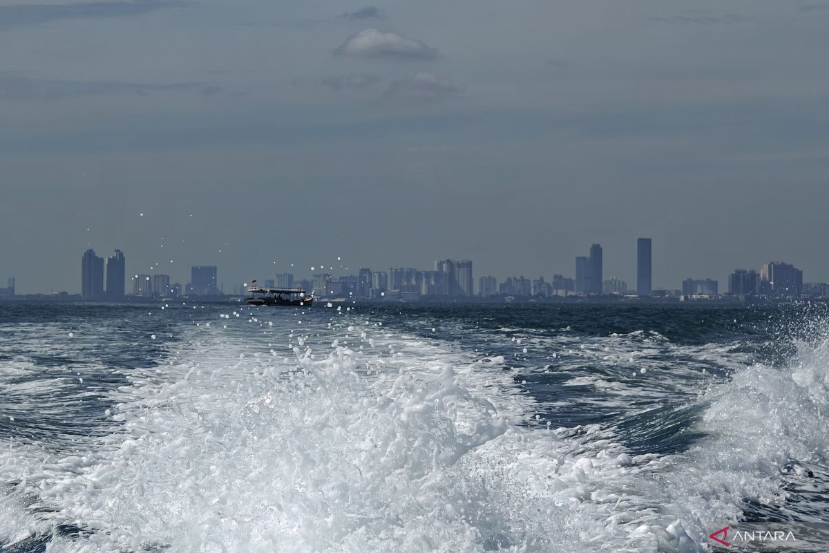
Jakarta — The Weather, Climatology, and Geophysical Agency (BMKG) has identified the western Indian Ocean off Aceh and the southern Indian Ocean off East Nusa Tenggara (NTT) as the areas most at risk of high waves, with potential wave heights reaching up to four metres, from 19 to 22 May 2026.
BMKG Maritime Meteorology Director Eko Prasetyo, speaking in Jakarta on Tuesday, said the surge in wave heights in these two regions poses a very high risk to maritime transport operations. The agency therefore urges the public to remain vigilant.
‘This will trigger high waves at risk in the 2.5–4.0 metre category off southern NTT and to the west of Aceh,’ he said.
Eko explained that the high seas in these two waters are at a dangerous level, affecting not only traditional fishing boats but also large vessels such as barges and inter-island ferries.
Based on safety risk analysis, ferries could face serious operational difficulties if they encounter wind speeds above 21 knots and wave heights exceeding 2.5 metres.
For fishing boats, the safe operating limit is below 15 knots with a maximum wave height of 1.25 metres.
Therefore, BMKG specifically asks maritime authorities, harbour masters, and vessel operators in Aceh and NTT to tighten oversight and consider delaying voyage activity if weather conditions deteriorate.
‘We urge communities living and working along coastlines in areas prone to high waves to remain vigilant,’ Eko added.