
BMKG Says 15 Aircraft Deployed for Weather Modification in Three Provinces
Jakarta (ANTARA) — Indonesia’s Meteorology, Climatology and Geophysics Agency (BMKG) said 15 aircraft had been deployed to conduct weather-modification operations in Central Kalimantan, South Kalimantan and South Sumatra to support efforts to tackle forest and land fires.
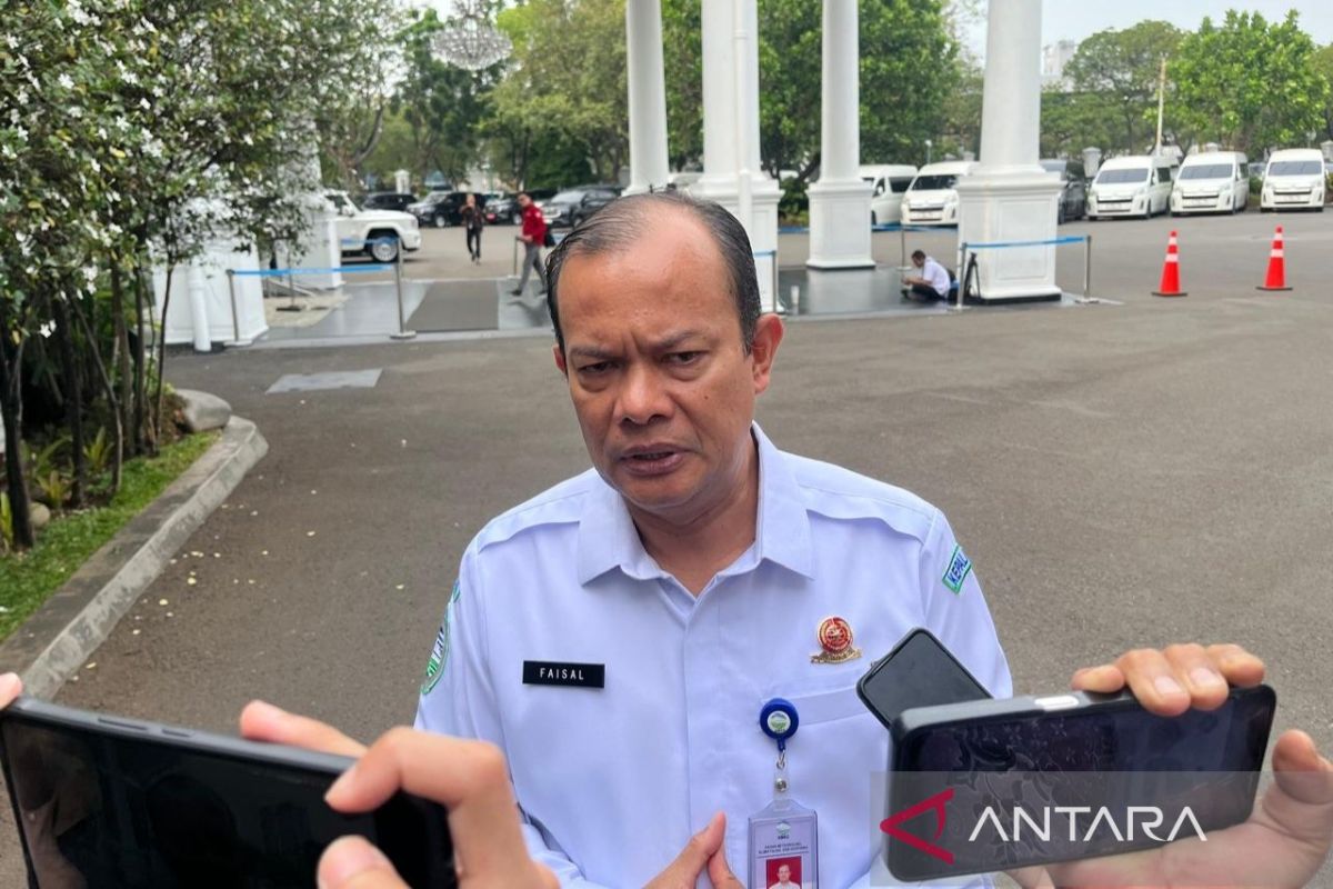
“Weather-modification operations are now being carried out on a large scale. This may be one of the biggest operations ever conducted in Indonesia,” BMKG chief Teuku Faisal Fathani said at the Presidential Palace complex in Jakarta on Monday.
He said nine aircraft were operating in Central and South Kalimantan, while six were in South Sumatra. “We hope this week will be a wet period, bringing the possibility of rain,” he said.
The operation is expected to increase the chances of rainfall and help extinguish fires, particularly in South Sumatra and Central Kalimantan, where fire activity remains high.
Faisal said the potential for cloud growth in Central Kalimantan would be high for five days from Monday. In South Sumatra, the potential is expected to increase from Tuesday and remain elevated for the following five days.
“We will work hard to extinguish as many of the fires as possible, especially in the two provinces where fire activity remains high: South Sumatra and Central Kalimantan,” he said.
He explained that the weather-modification operation was being carried out under instructions from President Prabowo Subianto and Coordinating Minister for Human Development and Culture Sugiono, with the involvement of BMKG, the National Disaster Mitigation Agency (BNPB), the Ministry of Forestry and the Indonesian Military (TNI).
BMKG is using a combination of dry ice and sodium chloride (NaCl), or salt, to support rain formation. The operation is also supported by Hercules and CN-295 aircraft, as well as other military aircraft.
BMKG is also preparing weekly maps through to the end of November to identify areas at very high and high risk of fire. The maps will help determine priority locations for forest and land fire prevention.
“We have prepared the data week by week through to the end of November. We have also mapped sub-districts at very high and high risk of fires,” he said.