
BMKG: Red on NASA Map Does Not Mean Jakarta’s Air Is Dangerous
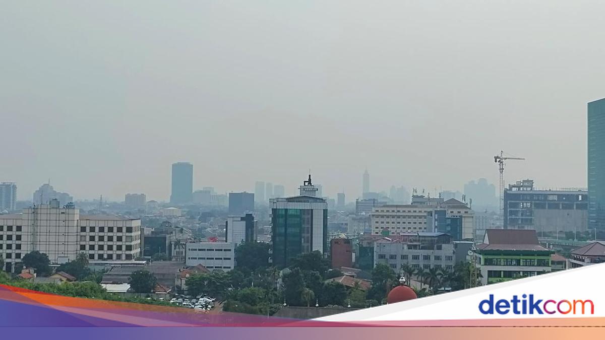
A satellite image from NASA’s Eyes on the Earth showing the distribution of carbon monoxide (CO) in the atmosphere has attracted public attention amid reports of forest and land-fire smoke detected over Jakarta. The Meteorology, Climatology and Geophysics Agency (BMKG) has explained that the red and orange colours do not necessarily mean the air people breathe is dangerous.
BMKG Director of Applied Climate Services Marjuki said the NASA image shows carbon monoxide distribution in an atmospheric layer at around 500 millibars, or approximately 5–6 kilometres above the Earth’s surface. He said the red and orange colours indicate relatively higher amounts of carbon monoxide in that layer compared with other areas.
“The image circulating comes from NASA’s Eyes on the Earth and shows the distribution of carbon monoxide (CO) in an atmospheric layer at around 500 millibars, or approximately 5–6 kilometres above the surface,” Marjuki told detikcom on Sunday (18 October 2026).
“The way to read it is that red to orange indicates a relatively higher amount of CO in that layer than in other areas. Those colours do not show the levels in the air we breathe, do not automatically mean it is hazardous to health, and do not confirm the source of emissions in every area shown in those colours,” he added.
Marjuki explained that carbon monoxide is a colourless, odourless gas produced by incomplete combustion. It can come from various sources, including forest and land fires, motor vehicles and industrial activities.
Carbon monoxide also remains in the atmosphere for a relatively long time—around one to two months. This allows it to be carried by winds thousands of kilometres from its source and spread across a wide area.
Because of these characteristics, carbon monoxide is often used as an indicator for monitoring the movement of fire smoke in the upper atmosphere. However, Marjuki cautioned that a wide distribution of carbon monoxide in a satellite image does not necessarily mean its concentration is high.
The gas can spread far from its emission source without indicating the same level of pollution in every area. “A wide distribution is also not the same as a high concentration, because CO can remain in the air for quite a long time and spread over a very large area at lower concentrations,” he explained.
He emphasised that satellite imagery is useful for observing the movement of gas in the atmosphere, but cannot be used as the sole basis for assessing the quality of the air people breathe.
Separately, BMKG is monitoring smoke layers over Banten, Jakarta and West Java using imagery from the Himawari-9 satellite. Marjuki said the smoke layer is around 2–3 kilometres above the surface and is being carried by winds in the upper atmosphere.
In these conditions, the smoke may not descend to the air near the surface that people breathe. The presence of smoke in the atmosphere therefore does not automatically indicate an increase in surface-level air pollution.
The smoke layer may make the sky appear hazier or grey. Further monitoring is needed, however, to determine whether it is affecting the quality of the air people breathe.
Marjuki said the smoke could reach the surface if wind and atmospheric conditions change. BMKG is continuing to monitor developments, including through surface measurements of fine particulate matter, PM2.5.
Marjuki said the relevant measure for determining the impact of fire smoke on the air people breathe is fine particulate matter (PM2.5) measured at the surface. “People can refer to BMKG’s PM2.5 measurements and the Air Pollution Standard Index (ISPU) from the Ministry of Environment to check air quality in their area,” he said.
Surface measurements provide more relevant information about the air people breathe than simply viewing the distribution of carbon monoxide in satellite imagery. “CO imagery remains useful for seeing the direction in which smoke is spreading in the upper layers, but it is not a substitute for surface air-quality measurements,” he said.
The red or orange colours on the NASA satellite map should therefore be understood in the context of the parameter and atmospheric altitude being shown. They cannot be interpreted directly as a sign that Jakarta’s air is dangerous to health.
Source: jawawa.id (https://jawawa.id/newsitem/bmkg-red-on-nasa-map-does-not-mean-jakartas-air-is-dangerous-1792306244)
Originally published by detikcom (https://news.detik.com/berita/d-8712415/bmkg-warna-merah-di-peta-nasa-bukan-berarti-udara-jakarta-berbahaya), translated from Indonesian