
BMKG Records Highest Tsunami in Talengan-Sangihe
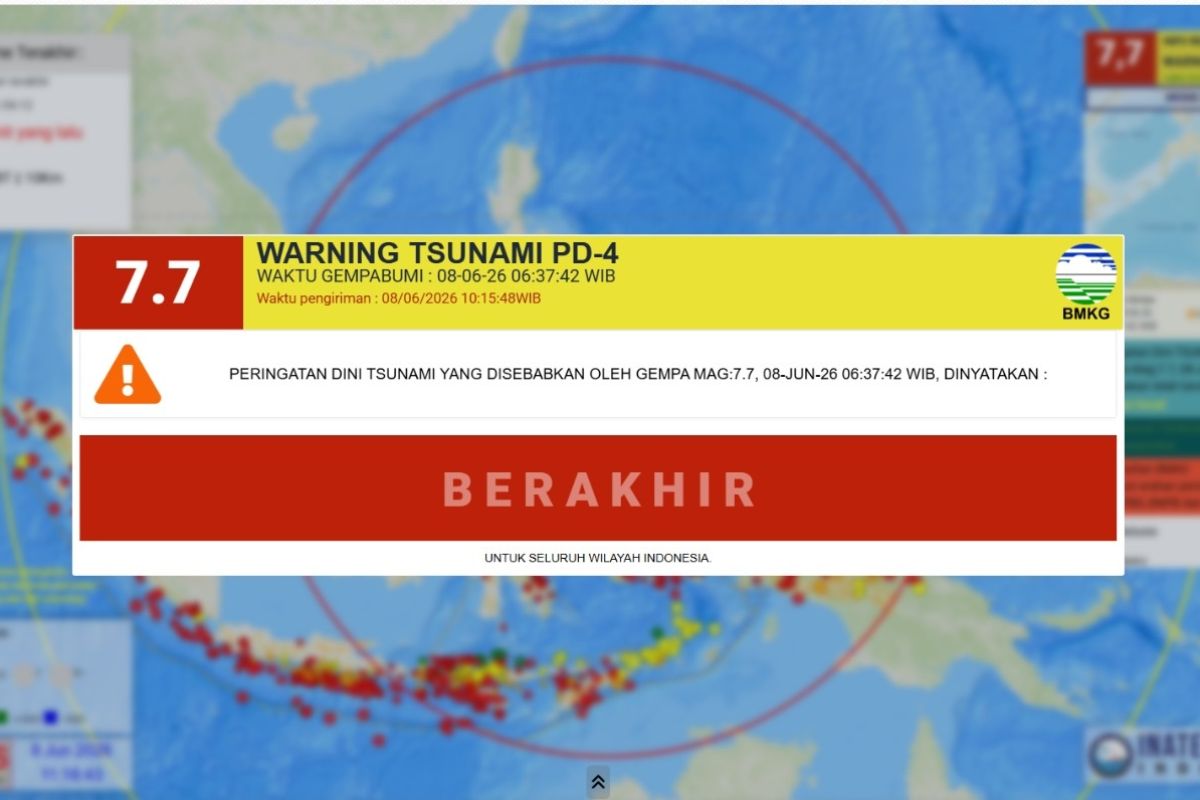
The Indonesian Agency for Meteorology, Climatology, and Geophysics (BMKG) recorded the highest tsunami wave in Talengan, Sangihe Islands Regency, North Sulawesi, at 08:20 WIB. This followed a magnitude 7.7 earthquake that struck the southern coast of Mindanao, Philippines, at 06:37:42 WIB at a depth of 47 kilometres.
“The fourth early warning contained the termination of the early warning at 10:15:51 WIB,” stated Wijayanto, Director of Earthquakes and Tsunamis at BMKG, during an update on the M7.7 earthquake in Manado on Monday.
According to the report, following standard operating procedures for earthquakes with tsunami potential, BMKG issued four levels of early warnings. The first warning, released at 06:40:44 WIB—just over three minutes after the quake—contained earthquake parameters and threat levels (alert and warning). The second warning provided updated parameters at 06:51:26 WIB.
The third warning phase included updates from tide gauge observations regarding arrival times and tsunami heights. In the first part of this phase (3.1) at 08:13:41 WIB, tsunami activity was detected at 07:20 WIB with a height of 0.09 metres in Loloda, North Maluku; 07:27 WIB with 0.18 metres in Ulu Siau, North Sulawesi; and 07:27 WIB with 0.32 metres in Melonguane, North Sulawesi.
In the second part of this phase (3.2) at 08:34:52 WIB, detections included 0.30 metres in Tahuna, Sangihe Islands, at 06:58 WIB; 0.45 metres in Paleleh, Central Sulawesi, at 07:34 WIB; and 0.32 metres in Tanjung Sidupa, North Sulawesi, at 07:39 WIB.
Further observations recorded waves of 0.29 metres in Bitung, North Sulawesi, and 0.14 metres in Ternate, North Maluku, both at 07:51 WIB. The highest recorded wave was 0.75 metres in Talengan, Sangihe, North Sulawesi, at 08:20 WIB.
The tectonic earthquake occurred on Monday, 8 June 2026, at 06:37:42 WIB. BMKG analysis confirmed a magnitude of M7.7 at a depth of 47 km, with the epicentre located at coordinates 5.80°N; 125.14°E, in the sea approximately 244 kilometres northwest of Karatung Island, North Sulawesi.
Modelling indicated a tsunami potential with an ‘alert’ status (0.5 – 3 metres) for Minahasa, Bolaang Mongondow, Manado, North Minahasa, South Minahasa, Buol, Sangihe Islands, Gorontalo, Talaud Islands, Toli-toli, Palu, Donggala, Ternate, and Bitung. A ‘warning’ status (less than 0.5 metres) was issued for Tidore, Bulungan, Nunukan, Halmahera, Tarakan, North Halmahera, Kutai, South Minahasa, Donggala, Bontang, and Berau.