
BMKG: North Sumatra Could See Rain for the Coming Week
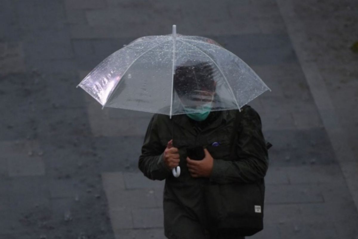
Medan (ANTARA) – The Meteorology, Climatology and Geophysics Agency (BMKG) says parts of North Sumatra could experience moderate to heavy rain over the coming week.
Martha Rosefina, head of the agency’s Meteorological Early Warning System team, said in Medan on Monday that the rain risk was linked to atmospheric Rossby waves and the Madden–Julian Oscillation (MJO), which are supporting convective activity.
Wind deceleration and areas of converging winds, triggered by wind shifts along North Sumatra’s west and east coasts, are also contributing. Strong local atmospheric instability is further supporting the growth of rain clouds.
She said that in the second 10-day period of October 2026, atmospheric conditions in North Sumatra were forecast to be influenced by atmospheric waves, wind shifts (shear lines), areas of wind convergence and strong atmospheric instability.
Together, these conditions are expected to increase the supply of water vapour, creating favourable conditions for rain-cloud development.
“North Sumatra’s weather over the coming week is generally expected to be dominated by moderate to heavy rain,” she said.
Areas at risk include Langkat, Binjai, Medan, Deli Serdang, Serdang Bedagai, Tebing Tinggi, Asahan, Batubara, Labuhanbatu, North Labuhanbatu, South Labuhanbatu, Pakpak Bharat and Dairi regencies.
Similar conditions could also occur in Karo, Humbang Hasundutan, Simalungun, Pematang Siantar, Toba, Samosir, North Tapanuli, South Tapanuli, Central Tapanuli, Padang Sidempuan, Padang Lawas, North Padang Lawas, Sibolga, Mandailing Natal, South Nias, Nias, West Nias and Gunung Sitoli.
In view of these conditions, BMKG urged residents to remain alert and take precautionary measures so that daily activities can continue safely and smoothly. It also advised the public to consult BMKG updates and not to place undue trust in unofficial weather information.