
BMKG: North Sumatra at Risk of Heavy Rain Over the Coming Week
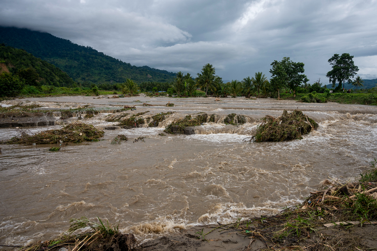
The Meteorology, Climatology, and Geophysics Agency (BMKG) has stated that North Sumatra is likely to experience rainfall ranging from light to heavy intensity over the coming week. Authorities have warned that these conditions must be monitored closely as they may trigger hydrometeorological disasters, including floods and landslides.
Nensy Nindy, a forecaster from the BMKG Regional Office I in Medan, stated on Monday that the weather in North Sumatra is being influenced by atmospheric wave activity. Specifically, cyclonic circulation in the Indian Ocean west of Sumatra, along with wind shifts forming convergence and confluence zones, has the potential to increase water vapour supply, supporting the growth of rain clouds in the region.
On a local scale, the forecaster noted that atmospheric instability appears quite strong in North Sumatra, further supporting convective processes. “Due to these conditions, weather in North Sumatra will generally be dominated by light to very heavy rain,” she said.
Consequently, there is an increased risk of moderate to very heavy rain accompanied by lightning and strong winds in several areas, including Langkat, Medan, Binjai, Deli Serdang, Dairi, Karo, Gunung Sitoli, West Nias, Nias, South Nias, North Nias, Labuhanbatu, North Labuhanbatu, and South Labuhanbatu.
Similar conditions may also occur in Pakpak Bharat, Asahan, Batubara, Humbang Hasundutan, Padang Sidempuan, Pematang Siantar, Sibolga, Tanjung Balai, Tebing Tinggi, Padang Lawas, North Padang Lawas, Samosir, Serdang Bedagai, Simalungun, South Tapanuli, Central Tapanuli, North Tapanuli, and Toba.
Given the significant atmospheric dynamics expected over the next few days, BMKG urges the public and relevant stakeholders to increase vigilance against the potential for heavy rainfall accompanied by lightning and strong winds throughout North Sumatra.