
BMKG: Magnitude 7.1 earthquake in Maluku poses no tsunami risk
Jakarta (ANTARA) — The Meteorology, Climatology and Geophysics Agency (BMKG) said a magnitude 7.1 tectonic earthquake in Maluku Province on Tuesday morning was not expected to trigger a tsunami.
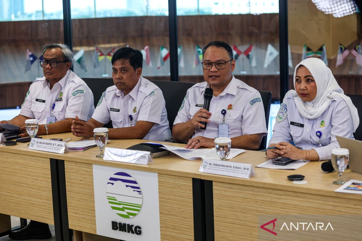
BMKG Director of Earthquake and Tsunami Wijayanto said in Jakarta on Tuesday that the epicentre was at latitude 6.12 degrees south and longitude 131.63 degrees east, at sea, 132 kilometres south-west of south-eastern Maluku, at a depth of 97 kilometres.
“Based on tsunami modelling, this earthquake does not pose a tsunami risk,” he said.
He explained that, based on the epicentre’s location and the depth of the hypocentre, the earthquake was an intermediate-depth event caused by rock deformation within the Banda Sea Plate.
BMKG confirmed reports from the public that shaking was clearly felt indoors, as if a lorry were passing (intensity III on the MMI scale), in Saumlaki, Tiakur, Dobo, Sorong, Manokwari, South Manokwari, Bintuni, Tual, Fakfak and Kaimana.
In Nabire, several people felt the tremor and light hanging objects swayed (intensity II on the MMI scale).
As of 06:25 WITA (04:25 WIB), BMKG monitoring had detected no aftershocks.
In response, BMKG urged the public to remain calm and not be swayed by unverified reports, and to avoid buildings cracked or damaged by the earthquake.
Source: jawawa.id (https://jawawa.id/newsitem/bmkg-magnitude-7-1-earthquake-in-maluku-poses-no-tsunami-risk-1794876763)
Originally published by Antara (Indonesian) (https://www.antaranews.com/berita/5858615/bmkg-gempa-magnitudo-71-di-maluku-tidak-berpotensi-tsunami), translated from Indonesian