
BMKG: Magnitude 5.2 Earthquake Shakes Sangihe Islands on Wednesday Night
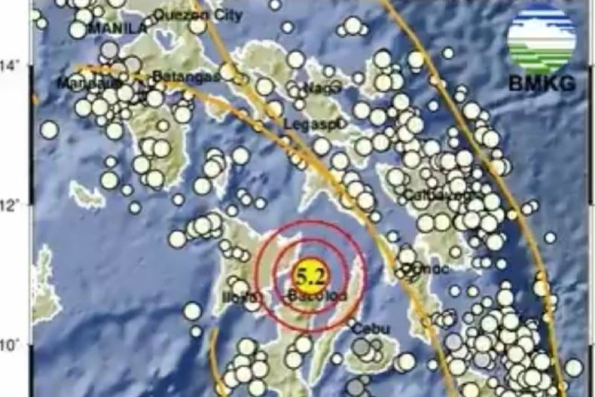
Jakarta (ANTARA) - The Meteorology, Climatology, and Geophysics Agency (BMKG) reported that a magnitude 5.2 earthquake struck northwest of Tahuna, Sangihe Islands, North Sulawesi (Sulut), at 22:10 WIB on Wednesday.
The quake’s epicentre was located 853 km northwest of Sangihe, precisely within Philippine territory, at coordinates 10.98 degrees North Latitude and 123.31 degrees East Longitude, at a depth of 124 km.
There have so far been no reports of damage or casualties from the earthquake.
It was the third earthquake northwest of Tahuna, Sangihe Islands, with a magnitude above 5. At 20:16 WIB, a magnitude 5.2 quake struck northwest of Tahuna at a depth of 10 km.
BMKG stated that the data prioritises speed, so the processed results may still change as more data comes in.
The earthquake’s location is in an area close to the Philippines, one of the most seismically active regions in the world and part of the Pacific Ring of Fire.
Indonesia is also prone to earthquakes because it lies at the meeting point of several major tectonic plates, including the Indo-Australian, Eurasian, Pacific, and Philippine plates.