BMKG Forecasts Wind Convergence to Trigger Heavy Rain on Thursday
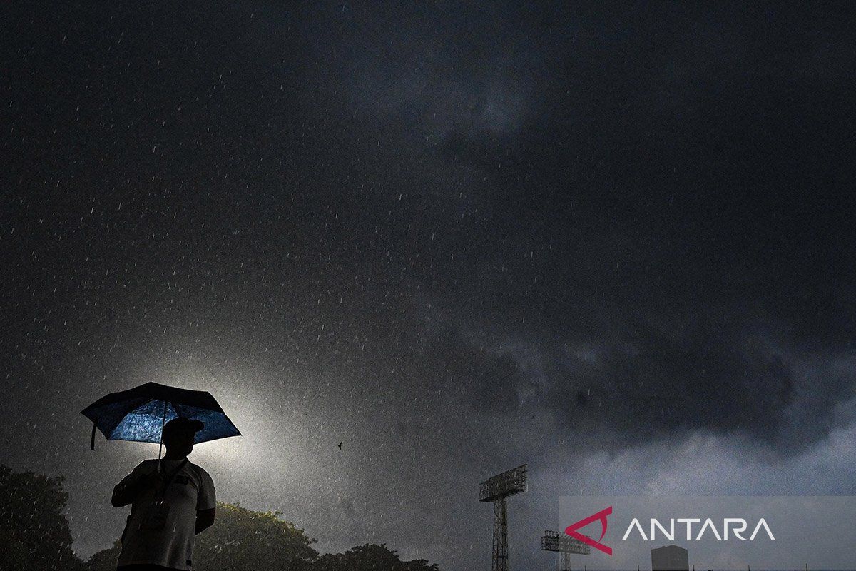
The Meteorology, Climatology and Geophysics Agency (BMKG) forecasts that the formation of areas of slowing wind speeds, or convergence, could increase the potential for the growth of heavy to very heavy rain clouds on Thursday. BMKG Forecaster Nazmi Nariyah, in a weather broadcast followed from Jakarta, reported that residents in the majority of major cities must increase their preparedness, including the regions of North Sumatra, West Sulawesi, North Maluku, and Maluku. This is because atmospheric conditions resulting from these convergence and confluence zones are considered capable of increasing the potential for rain cloud growth along these areas. Nazmi explained that the convergence zone is observed stretching from West Sumatra, Jambi, South Sumatra, Kalimantan, Sulawesi, Maluku, to the land of Papua. Meanwhile, wind meeting areas, or confluence, are forecast to form in the Andaman Sea, the Strait of Malacca, the South China Sea, the Sulu Sea, and the Pacific Ocean north of Papua. For the weather forecast in major cities in western Indonesia, BMKG projects the potential for rain accompanied by lightning or thunder will hit the cities of Tanjung Pinang, Pontianak, and Banjarmasin. Meanwhile, the cities of Medan, Pangkal Pinang, Palangka Raya, Samarinda, and Tanjung Selor are forecast to experience light rain, while the DKI Jakarta, Banda Aceh, Serang, Bandung, and Surabaya areas have the potential for thick clouds. Turning to eastern Indonesia, heavy intensity rain is forecast to drench Mamuju City, thundery rain in Ternate, moderate rain in Ambon, and light rain in over a dozen other major cities including Denpasar, Makassar, and Jayapura. Therefore, BMKG advises residents in various regions to continually update dynamic weather information through the official website and official social media channels @infoBMKG.