
BMKG Forecasts Potential Waves of Up to 4 Metres in Southern Waters
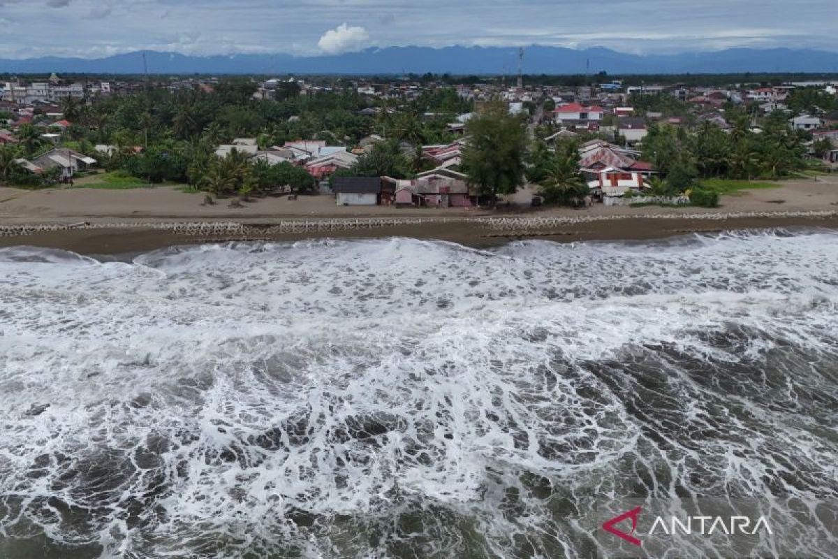
Jakarta (ANTARA) - The Agency for Meteorology, Climatology, and Geophysics (BMKG) forecasts the potential for high waves with heights reaching 2.5 to 4 metres in the southern maritime regions of Indonesia.
Acting Director of Maritime Meteorology at BMKG, Agie Wandala Putra, stated in a briefing in Jakarta on Wednesday that the concentration of high waves is predicted to persist for three days, from 3 to 6 June 2026.
“The highest wind speeds were observed in the northern part of the Malacca Strait, the southern Indian Ocean from Banten to East Java, the southern Makassar Strait, and the Banda Sea,” he said.
He explained that this phenomenon is driven by the movement of wind patterns in the southern region of Indonesia, which are blowing constantly from the east to the southeast at speeds ranging between 6 and 25 knots.
Based on the risk distribution map, the potential for waves of up to four metres is likely to hit the corridor of the Indian Ocean off the western coast of Sumatra, particularly in the waters of Bengkulu and Lampung.
In addition to Sumatra, similar risks extend widely across the southern Indian Ocean waters of Banten, West Java, Central Java, DI Yogyakarta, and into the East Java region.
BMKG’s monitoring systems indicate that the movement of these high waves continues eastward, reaching the southern Indian Ocean waters of Bali, West Nusa Tenggara (NTB), and East Nusa Tenggara (NTT).
Regarding the concentration of high waves in these southern regions, BMKG has urged all coastal communities and national shipping operators in these areas to remain vigilant to mitigate any potential adverse impacts.
“The potential for high waves in several of these areas may pose a risk to maritime safety,” he added.