
BMKG Forecasts Potential Rainfall Across Several Regions on Wednesday
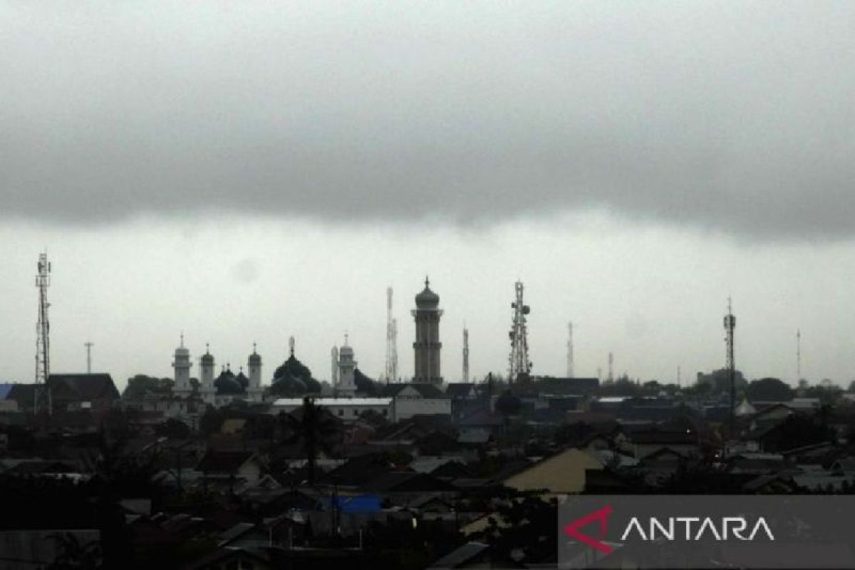
Jakarta (ANTARA) - The Agency for Meteorology, Climatology, and Geophysics (BMKG) forecasts that several areas are likely to experience rainfall ranging from light to heavy intensity on Wednesday, although dry weather generally continues to dominate most parts of Indonesia.
BMKG forecaster Adelia Febby, in a broadcast monitored from Jakarta on Wednesday, noted the presence of cyclonic circulation or wind vortices in the North Pacific, north of Papua, and along the southern coast of Vietnam.
These conditions are triggering wind convergence and deceleration in several areas, ranging from the Gulf of Thailand, the South China Sea, the Natuna Sea, and the Philippine Sea, to the waters of North Maluku and Papua.
“These conditions have the potential to increase the growth of rain clouds in the surrounding areas,” said Adelia.
For western Indonesia, BMKG predicts the potential for thunderstorms in Pontianak and Tanjung Selor, moderate rain in Medan, and light rain in Padang, Pekanbaru, Pangkal Pinang, Serang, and Bandung.
Meanwhile, in eastern Indonesia, moderate rain is possible in Nabire, while light rain is forecast for Mamuju, Palu, Jayapura, and Jayawijaya.
BMKG also warned the public about the potential for heavy rain that may occur locally, even though dry conditions generally prevail.
In addition to the potential for rain, BMKG forecasts hazy conditions in several regions, including most of central to southern Sumatra, as well as southern, central, and eastern Kalimantan. Similar conditions are also possible in Sorong and Manokari.
For air transport users, BMKG warned of the potential for rain clouds or cumulonimbus clouds in several areas of Sumatra, the North Natuna Sea, Kalimantan, Sulawesi, the northern part of the Makassar Strait, Papua, and the North Pacific north of Papua.
Air transport passengers are advised to follow the latest information from airports and airlines regarding weather conditions.
In the maritime sector, BMKG noted that winds in Indonesian waters are generally blowing at speeds of 5 to 25 knots. Waves between 1.25 and 2.5 metres are possible in several waters across Sumatra, Kalimantan, Java, Nusa Tenggara, Sulawesi, Maluku, and Papua.
Furthermore, higher waves with heights of 2.5 to 4 metres are possible in the Indian Ocean west of the Mentawai Islands to Lampung, as well as the Indian Ocean south of Banten to East Java.
The public is requested to adjust their activities and travel according to weather conditions and to monitor the latest information through official BMKG channels.