
BMKG Explains Haze over Jakarta and Red Areas on NASA Map
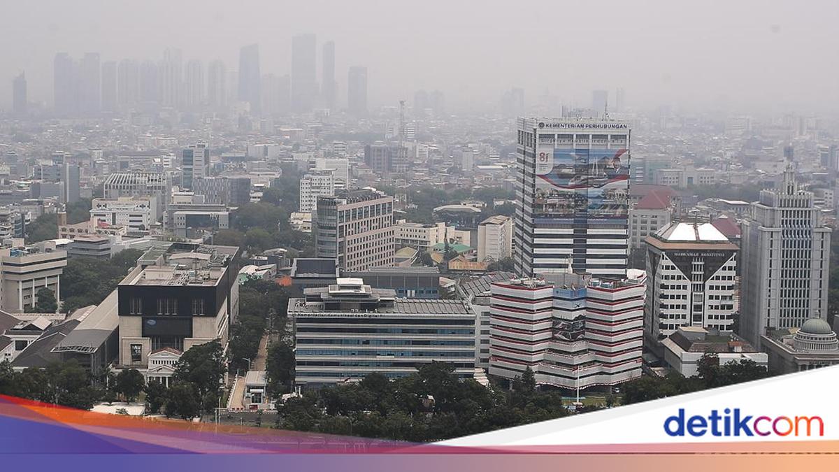
Indonesia’s Meteorology, Climatology and Geophysics Agency (BMKG) said a layer of forest and land fire haze was detected in the atmosphere over Jakarta. However, the agency said the haze had not reached the air breathed by the public.
BMKG Director of Applied Climate Services Marjuki said the haze layer was observed in Himawari-9 satellite imagery. It was also detected over Banten and West Java.
The haze was carried by winds in the upper atmosphere. Its presence does not, therefore, necessarily indicate an increase in air pollution at the surface in Jakarta.
“BMKG’s monitoring of Himawari-9 imagery shows a layer of haze in the air above Banten, Jakarta and West Java. It is at an altitude of around two to three kilometres and is being carried by winds in the upper atmosphere. Put simply, the haze is ‘passing above’ and has not yet descended into the air near the surface that we breathe,” Marjuki told detikcom on Sunday (18 October 2026).
Marjuki said the haze was still moving through the upper atmospheric layer. Its presence above Jakarta therefore does not necessarily mean that residents have inhaled smoke from forest and land fires.
“For that reason, the presence of haze in the atmosphere does not necessarily increase air pollution at the surface,” he said.
Marjuki explained that a layer of haze in the upper atmosphere can make the sky appear murkier or greyer. However, a change in the sky’s appearance cannot, on its own, be used to assess the quality of the air people breathe.
Conditions in the upper atmospheric layer can change with wind patterns and other atmospheric conditions. If these conditions shift, the haze could descend to the surface.
“This haze layer can make the sky look murkier or greyer, and the haze could descend to the surface if wind and atmospheric conditions change. BMKG is therefore continuing to monitor developments, including through surface PM2.5 measurements,” he said.
Marjuki said the presence of haze in the atmosphere cannot be the sole basis for concluding that surface air has been polluted by forest and land fires. Measurements of air quality at the surface are needed to determine the conditions in the air people actually breathe.
The public can consult BMKG’s PM2.5 data and the Air Pollution Standard Index (ISPU) provided by the Ministry of Environment. These measurements help show air quality in the areas where people live and work.
Alongside monitoring the haze layer in satellite imagery, BMKG is tracking developments to identify atmospheric changes that could affect air quality at the surface.
What the red areas on NASA’s map mean
NASA’s Eyes on the Earth satellite imagery has recently drawn public attention by showing the distribution of carbon monoxide (CO) in the atmosphere, amid reports of forest and land fires detected in the Jakarta area. BMKG said the red and orange colours do not necessarily mean that the air people breathe is dangerous.
Marjuki said the NASA imagery shows the distribution of carbon monoxide in an atmospheric layer at around 500 millibars, or approximately five to six kilometres above the Earth’s surface. The red and orange colours indicate relatively higher amounts of carbon monoxide in that layer compared with other areas.
“The image being shared comes from NASA’s Eyes on the Earth and shows the distribution of carbon monoxide (CO) in an atmospheric layer at around 500 millibars, or roughly five to six kilometres above the surface,” Marjuki said.
“The way to read it is that red and orange indicate relatively higher amounts of CO in that layer than in other areas. Those colours do not show the levels in the air we breathe, do not automatically mean that it is dangerous to health, and do not confirm the source of emissions in every area shown,” he added.
Marjuki explained that carbon monoxide is a colourless, odourless gas produced by incomplete combustion. It can come from various sources, including forest and land fires, motor vehicles and industrial activity.
Carbon monoxide also remains in the atmosphere for a relatively long time—around one to two months. This means it can be carried by winds thousands of kilometres from its source and spread over a wide area.
Because of these characteristics, carbon monoxide is often used as an indicator for tracking the movement of fire smoke in the upper atmosphere. However, Marjuki cautioned that a wide distribution of carbon monoxide in satellite imagery does not necessarily mean its concentration is high.
The gas can spread far from its emission source without indicating the same level of pollution in every area. “A wide distribution is not the same as a high concentration, because CO can remain in the air for quite a long time and spread over a very wide area at lower concentrations,” he explained.
He stressed that satellite imagery is useful for tracking the movement of gases in the atmosphere, but it cannot be used as the sole reference for assessing the quality of the air people breathe.
Source: jawawa.id (https://jawawa.id/newsitem/bmkg-explains-haze-over-jakarta-and-red-areas-on-nasa-map-1792371031)
Originally published by detikcom (https://news.detik.com/berita/d-8713156/bmkg-jelaskan-asap-karhutla-di-atmosfer-dki-hingga-merah-merah-di-peta-nasa), translated from Indonesian