
BMKG: Cyclone Champi Moves North-west, Bringing High Waves
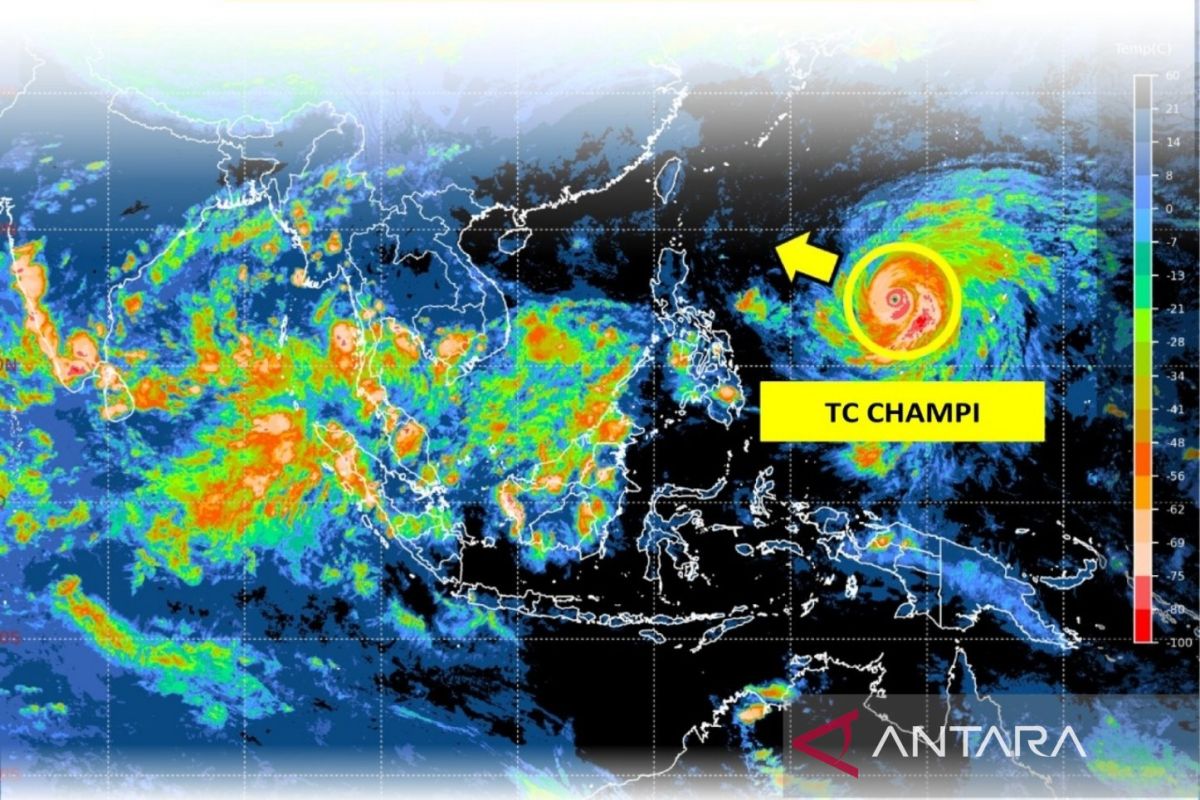
Jakarta (ANTARA) - Indonesia’s Meteorology, Climatology and Geophysics Agency (BMKG) has urged people in the country’s eastern regions to remain alert to the expanding indirect impacts of Tropical Cyclone Champi, which is moving north-north-west.
BMKG Director of Public Meteorology Ida Pramuwardani said in a report in Jakarta on Monday that Champi, observed over the Philippine Sea north of Papua, was forecast to intensify to Category 5 within the next 24 hours.
The cyclone developed from Tropical Cyclone Seed 96W, which reached tropical-cyclone intensity outside the Jakarta Tropical Cyclone Warning Centre’s monitoring area at 7pm Western Indonesian Time on 15 October 2026, before entering the centre’s area at 1am on 19 October 2026.
“Maximum wind speeds are forecast to increase over the next 24 hours, with the system reaching Category 5 and moving west-north-west,” she said.
Champi is also expected to have indirect effects on sea conditions in several parts of Indonesia over the next 24 hours, until 7pm on 20 October 2026.
BMKG’s Public Meteorology team said waters potentially affected by moderate waves include the Pacific Ocean north of Maluku and waters off Papua.
Moderate sea waves, measuring 1.25 to 2.5 metres, are also possible in the waters around the Talaud Islands, the Maluku Sea and waters north of Southwest Papua.