
BMKG confirms no tsunami potential after magnitude 6.7 earthquake in Palu
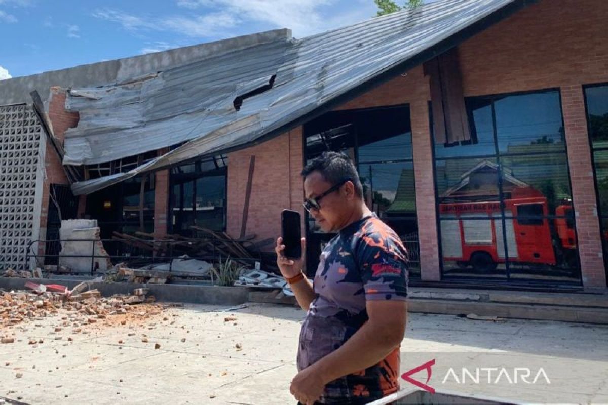
The Meteorology, Climatology and Geophysics Agency (BMKG) has confirmed there is no tsunami potential following a magnitude 6.7 tectonic earthquake that shook the Palu region of Central Sulawesi on Tuesday at 10.27 WIB. “There is no tsunami potential, because the epicentre is on land,” said Hendrik, an observer at the BMKG Palu Class 1 Geophysics Station, in Palu on Tuesday. According to him, the earthquake was a shallow quake resulting from active fault activity. Source mechanism analysis indicates the earthquake had a downward movement mechanism. “The public should not panic and should not be trapped by irresponsible rumours,” he said. Nevertheless, BMKG confirmed there is no tsunami potential from the earthquake. Based on shaking level map estimates and instrumentation observation results, the earthquake was felt at intensity scale VI-VII MMI in Palu, intensity scale V-VI MMI in Sigi, intensity scale III MMI in Polewalimandar, Mamasa, Mamuju, and Pasang Kayu, and intensity scale II-III MMI in Pinrang, Pare-Pare, Pohuwatu, Boalemo, North Gorontalo Regency, Gorontalo Regency, and North Luwu. BMKG confirmed the epicentre was located on land at coordinates 1.13 South Latitude and 120.23 East Longitude, precisely 42 kilometres southeast of Palu City. The earthquake was categorised as shallow with a depth of 10 kilometres, but mathematical modelling shows this seismic activity does not have the potential to trigger a tsunami.