
BMKG: Cilacap S-Band Weather Radar to Strengthen Maritime and Disaster Resilience
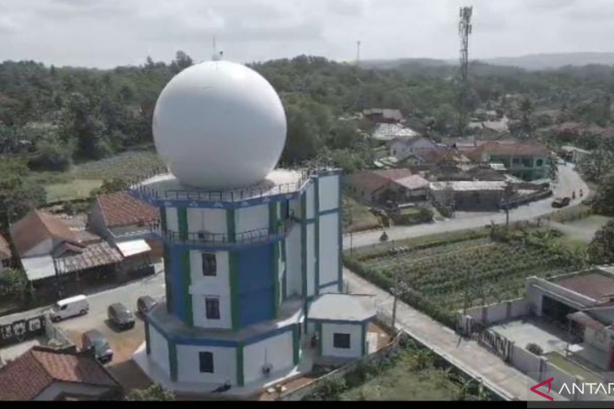
The Meteorology, Climatology, and Geophysics Agency (BMKG) is optimistic that the operation of an S-Band Weather Radar in Cilacap Regency, Central Java, will strengthen the atmospheric observation network while reinforcing the national maritime and disaster resilience system. Acting Director of Instrumentation and Calibration at BMKG, Hartanto, stated that the placement of this advanced infrastructure in the coastal region serves as a primary pillar in supporting short-term weather forecasting services, or nowcasting, and is crucial for ensuring the safety of maritime activities. The real-time data produced by the radar is considered to provide significant safety assurance for the marine and fisheries sector, where fishermen and shipping operators can obtain precise weather condition information before going to sea. “On the other hand, local governments and disaster agencies can also utilise this data for the early detection of floods, heavy rain, and strong winds,” Hartanto said following the inauguration of the weather radar infrastructure in Cilacap. The construction of this infrastructure is part of the national Marine Meteorological System Phase II (MMS-2) project, which focuses on strengthening the maritime meteorological observation system in several of Indonesia’s strategic waters. Hartanto confirmed that all stages of the infrastructure development had passed a rigorous, internationally standardised process, from site surveys, technical design preparation, and physical construction to device installation, system integration, and operational weather observation testing. Meanwhile, Acting Regent of Cilacap, Ammy Amalia Fatma Surya, expressed high appreciation to BMKG for placing this maritime support infrastructure in her region, which directly faces the Indian Ocean to the south. Cilacap’s geographical characteristics, encompassing coasts, ports, industrial centres, and hills, make the area highly vulnerable to the dynamics of global climate change and hydrometeorological disasters. Therefore, the supply of precise data from this weather radar not only secures shipping activities and the economic livelihoods of fishermen at sea but also helps detect potential disasters on land earlier to minimise the risk of losses. “These characteristics make Cilacap highly vulnerable to the dynamics of global climate change. The presence of this weather radar provides enormous benefits for supporting various sectors while serving as a primary instrument in mitigating hydrometeorological disasters,” Ammy said.