BMKG: 80 Earthquakes Recorded in Bengkulu Since January 2026
Regarding earthquakes in Bengkulu, the database records 80 earthquake events with magnitudes ranging from 1.9 to 4.8 at depths of 2 to 169 kilometres.
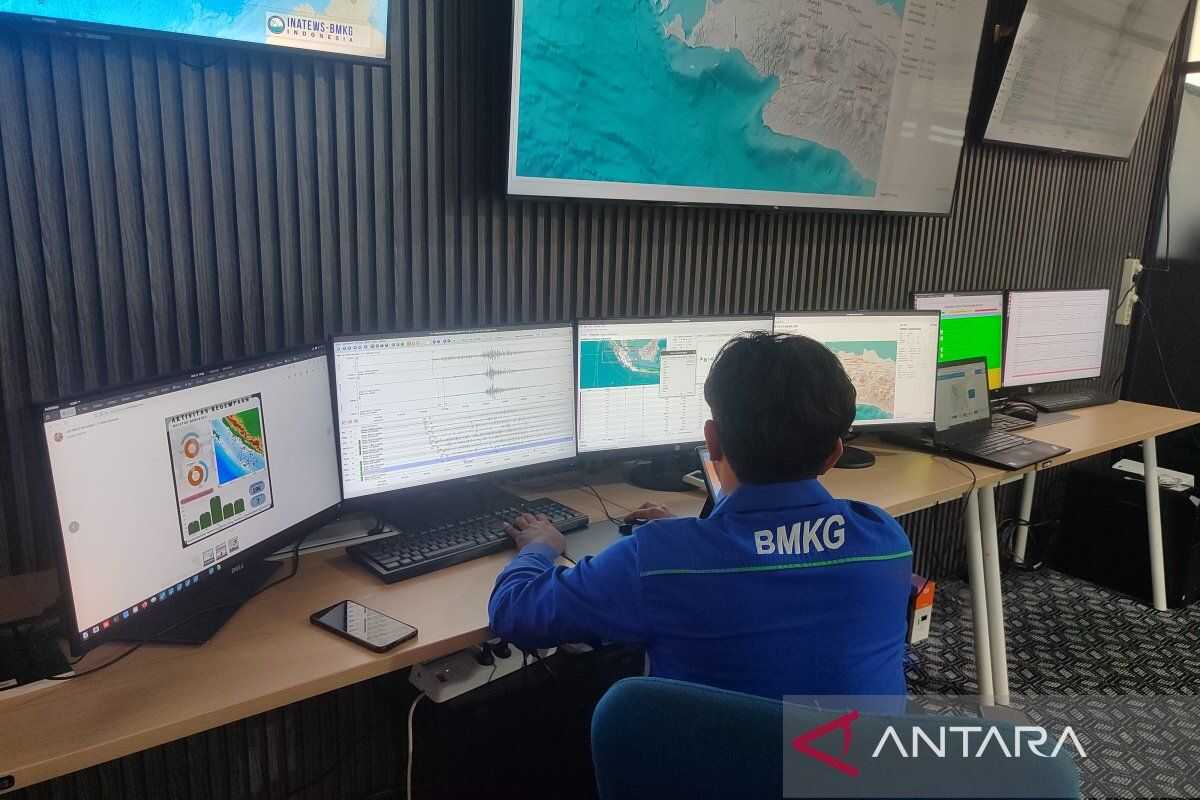
Bengkulu City (ANTARA) – The Meteorology, Climatology and Geophysics Agency (BMKG) of the Kepahiang Geophysical Station has recorded 80 earthquake events in the Bengkulu Province since January.
“Regarding earthquakes in Bengkulu, the database records 80 earthquake events with magnitudes ranging from 1.9 to 4.8 at depths of 2 to 169 kilometres,” said Tri Rizki Muksida, First Meteorological and Geophysical Observer at the Kepahiang Geophysical Station, in Bengkulu City, on Wednesday.
An earthquake with a magnitude of 4.8 occurred on 15 February 2026 at 13:14 WIB, with the epicentre located 30 km southwest of Seluma Regency, Bengkulu Province.
Tri urged all residents of Bengkulu to always be vigilant about the dangers of earthquakes and to understand the steps for mitigating earthquake disasters.
In addition, he said, they should always be prepared to evacuate if they feel an earthquake and not be misled by irresponsible information or rumours.
Earthquake events in Bengkulu Province are mostly shallow earthquakes with magnitudes ranging from 2.0 to 4.0.
Furthermore, the areas in Bengkulu Province that frequently experience earthquakes are generally located on Enggano Island, North Bengkulu Regency, Seluma Regency, South Bengkulu Regency, and Kaur Regency.