
BIG updates flood hazard maps in West Sumatra
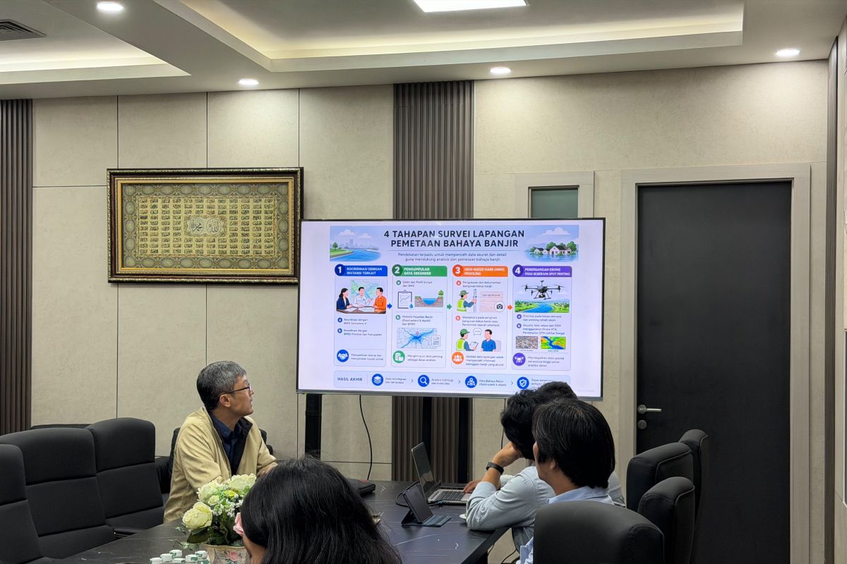
The Geospatial Information Agency (BIG) is updating flood hazard maps in West Sumatra Province to serve as a basis for decision-making regarding rehabilitation and reconstruction following recent flash floods and landslides.
BIG Director of Thematic Mapping, Gatot Haryo Pramono, stated in a briefing confirmed in Jakarta on Monday that updating this geospatial data is urgent because the landscape has undergone significant physical changes due to erosion, sedimentation, and changes in land cover following the disaster.
West Sumatra, alongside Aceh and North Sumatra, was severely impacted by floods and landslides caused by the Senyar Cyclone phenomenon, resulting in significant damage and loss of life in November 2025.
“Regional conditions can change after a flood. We need to ensure that the hazard maps used by the government truly reflect the current conditions and are validated against field observations,” said Gatot.
According to BIG’s 2026 work scheme, the update of flood hazard maps covers 16 areas in West Sumatra, including the regencies of West Pasaman, Pasaman, Agam, Lima Pulah Kota, Tanah Datar, Padang Pariaman, Solok, South Solok, Pesisir Selatan, and the Mentawai Islands.
In addition to the regencies, he noted that this integrated mapping also targets affected urban areas, namely the cities of Payakumbuh, Bukittinggi, Padang Panjang, Pariaman, Padang, and Solok City.
He emphasised that during implementation, the BIG Task Force will conduct on-desk data processing, which involves examining, analysing, and compiling the data.
In its execution, the risk map data held by BIG will be matched with data from the River Basin Organisation (BWS), the National Disaster Management Agency (BNPB), and the West Sumatra Public Works Department (PU).
“Field surveys include mapping high-water marks on flood-damaged buildings, documenting damage, and conducting intensive interviews with village officials and affected residents,” he added.
He further noted that the mapping results are intended to strengthen multi-level or cascading risk analysis and support the Single Post-Disaster Data Dashboard managed by the Central Bureau of Statistics (BPS).
This single data source is expected to support the accelerated implementation of the ‘build back better’ principle—a post-disaster recovery strategy that focuses not only on rebuilding infrastructure but also on reducing community vulnerability to similar risks in the future.
Meanwhile, the Regional Secretary of West Sumatra Province, Arry Yuswandi, welcomed the updates in the 16 regencies and cities, noting that accurate geospatial data is vital for local government planning regarding pre-disaster mitigation, emergency response, and post-disaster recovery.
“This activity will certainly be very helpful in disaster mitigation,” said Arry.