
BIG develops method to monitor land subsidence in North Java Coast
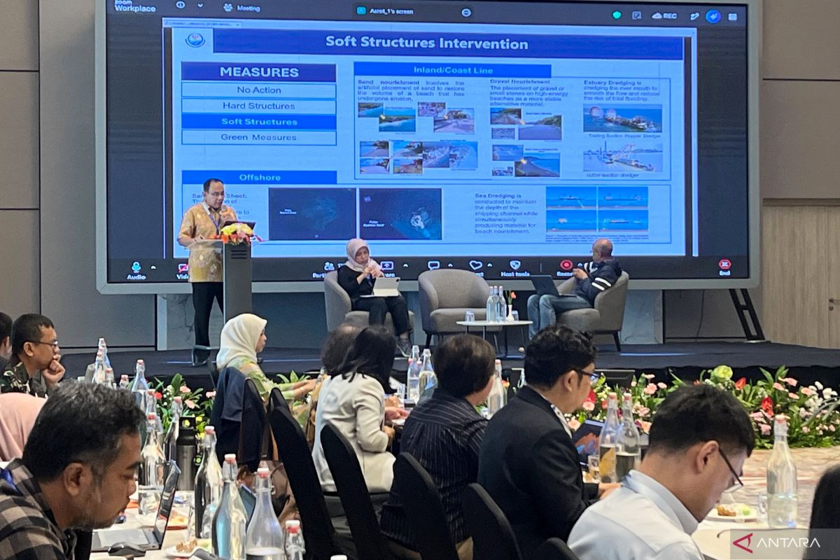
The Geospatial Information Agency (BIG) is developing a method to monitor land subsidence and changes in the coastline, using the northern coast of Java, known as Pantura, as the initial project site.
Astrit Rimayanti, Director of Marine and Coastal Topographic Mapping at BIG, stated in Cibinoge, Bogor Regency, West Java, on Thursday, that the method is being developed by integrating various geospatial data and information. “The integration of this information can produce a more comprehensive picture of the conditions and trends of changes in coastal areas,” said Astrit.
She explained that BIG possesses various datasets to understand coastal dynamics, ranging from periodic coastline changes, sea level observations, land subsidence measurements, topography and bathymetry, to oceanographic information. According to her, this information not only describes the current state of coastal areas but can also be used to identify past changes and future trends over time.
The development of this method was discussed during the Meeting for the Land Subsidence and Coastline Change Monitoring Project, organised by BIG in Cibinong today.
Gita Loka Murti, Head of the Centre for Policy Strategy on Special Issues and Data Analysis at the Agency for Foreign Policy Strategy (BSKLN) of the Ministry of Foreign Affairs, noted that the project begins in the Pantura region. According to Gita, the area faces land subsidence, sea-level rise, and coastline changes that pose challenges to communities, infrastructure, ecosystems, and spatial planning.
“The project starts from the northern coast of Java, where land subsidence, sea-level rise, and coastline changes create serious challenges for society, infrastructure, ecosystems, and spatial planning,” said Gita.
She explained that the method developed through this project is also designed to be adaptable and applicable to other coastal regions within the area. The project will compare several methods based on accuracy, cost, data availability, ease of implementation, and the possibility of application in different coastal conditions.
The meeting in Cibinong marks the beginning of a series of activities within a collaborative project agreed upon during the 34th Workshop on Managing Potential Conflicts in the South China Sea in 2025. Gita mentioned that this technical cooperation is planned to last for two years, involving experts, researchers, and institutions from several countries.
In addition to producing a monitoring method, she stated that the cooperation serves as a means to build trust and strengthen communication between experts and institutions in addressing coastal issues. She added that the cooperation is also in line with the 1982 United Nations Convention on the Law of the Sea (UNCLOS), specifically Article 123 regarding cooperation between states bordering enclosed or semi-enclosed seas.