
BBRMP Maluku trains 31 extension officers in agricultural land polygon mapping
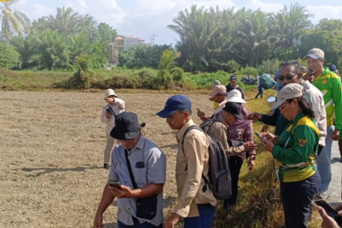
The Maluku Large Center for Agricultural Modernisation Application (BBRMP) has trained 31 agricultural extension officers in West Seram Regency (SBB) to create agricultural land polygons using the Field Measure Area application. This initiative, held in Kairatu District, aims to support land data collection and mapping through digital technology.
“Mastering the Field Measure Area application will assist extension officers in producing more accurate land area data, thereby supporting programme development and policy-making within the agricultural sector,” stated the Head of BBRMP Maluku, Gunawan, in Ambon on Saturday.
The 31 participating extension officers represent five Agricultural Extension Centres (BPP), namely BPP Seram Barat, Huamual, Taniwel, Taniwel Timur, and Waesala. The training was also attended by the CWS Agricultural Extension Coordinator for Maluku Province, Hamid, and the Head of the CWS Agricultural Extension Working Team for West Seram Regency, Bertha.
During the technical guidance session, participants were equipped with the skills to create polygons using the Field Measure Area application to measure and map agricultural land more precisely. The resulting maps are expected to support agricultural data compilation, programme planning, reporting, and field-level decision-making.
In addition to classroom-based learning, the extension officers conducted practical field exercises at agricultural sites in Kairatu District using the application. This blended learning method, combining theory and practice, is intended to facilitate the mastery of digital technology.
Through this activity, BBRMA Maluku reaffirms its commitment to continuously enhancing the capacity of agricultural extension officers, who serve as the frontline for farmer assistance, while accelerating the transformation towards modern, efficient, and technology-based agriculture in Maluku Province.
“We hope all extension officers can apply these skills when assisting farmers in their respective areas, ensuring that the process of agricultural land data collection and mapping becomes faster, more accurate, and technology-driven,” Gunawan added.