
Bandung Haunted by Threat of Major Earthquake from Lembang Fault, Here are the Points
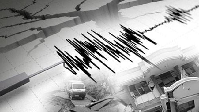
The Bandung Raya area is under the shadow of the threat of an earthquake with a magnitude of 6.5 to 7 triggered by activity along the Lembang Fault. This active fault line, stretching approximately 29 km along the northern side of Bandung, continues to be a focal point for geology experts due to its direct intersection with densely populated residential areas.
The Geological Agency of the Ministry of Energy and Mineral Resources presented this warning during an online discussion that thoroughly examined the geological and geophysical characteristics of the Lembang Fault since March. Through the latest research, the relevant authorities are endeavouring to map the fault structure in depth to formulate more effective disaster mitigation strategies for residents in the affected areas.
The Head of the Geological Survey Centre of the Geological Agency, Edy Slameto, stated that his team had conducted an integrated geological and geophysical survey at the end of 2025 to study the character of the Lembang Fault in greater detail. This research combines various methods, from remote sensing and field surveys to analysis of subsurface conditions.
Quoted on Friday (15/5/2026), the survey employed various geophysical methods, such as Ground Penetrating Radar (GPR), geoelectrics, detailed geomagnetics, as well as deeper geophysical methods like gravity and micro-earthquake monitoring. This approach was undertaken to map the fault structure more accurately.
From the results of the study, the Geological Agency has divided the Lembang Fault into three main segments: the western segment, the central segment, and the eastern segment. The western segment features a relatively vertical fault at the surface, but at greater depths, it tends to dip towards the south. Meanwhile, the central segment exhibits a vertical fault structure but with different geological characteristics compared to the western segment.
As for the eastern segment, a more complex pattern was found. Data indicate the possibility of two fault dip patterns, namely dipping towards the north near the surface, but becoming more vertical at greater depths.
Researchers also highlighted that the earthquake risk in the Lembang Fault area does not only stem from the main shaking but also from secondary hazards such as ground movement and surface cracks. This condition is deemed similar to the situation around the Cugenang Fault that triggered the 2022 Cianjur earthquake. That area shares similar geological conditions, comprising materials from young volcanic debris that are relatively fragile.
In addition to geological factors, the vulnerability of earthquake-resistant buildings and the lack of mitigation can amplify the disaster’s impact if an earthquake occurs. Therefore, the Geological Agency assesses that serious efforts are needed to reduce disaster risks in the areas around the Lembang Fault, particularly through improved earthquake mitigation and raising public awareness of geological hazards in the Bandung Raya region.