ATR/BPN: Discrepancies Between Old Land Deeds and Certificates Do Not Indicate Errors
The Ministry of Agrarian Affairs and Spatial Planning/National Land Agency (ATR/BPN) has urged the public not to worry if they find differences in land area between their certificates and older title deeds such as Letter C, Letter D, girik, or petuk.
"What is important for the public to understand is that the certainty of land measurement lies in the certainty of the position, boundaries, and shape of the land parcel, not solely on its area," said Agus Apriawan, Director of Survey and Thematic Mapping at the Ministry of ATR/BPN, in a statement in Jakarta on Friday.
According to him, such area discrepancies are normal and can occur due to differences in the methods and technology used for measurement over time. He explained that old title deeds were essentially administrative records of land tenure or historical records originating from village records or past taxation systems.
"These documents are not proof of ownership rights issued through the national land registration system," he stated. He noted that in the past, land measurements were often conducted using simple tools such as measuring tapes, which had limitations, especially in challenging topographical conditions.
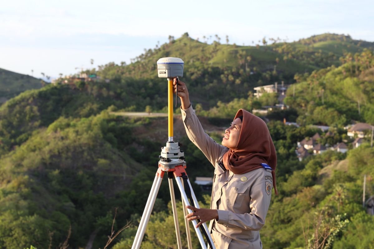
As technology has advanced, measurement methods and tools have become much more modern with many alternatives. Agus Apriawan said that current land surveys utilise satellite-based technology via the Global Positioning System (GPS) with the Real Time Kinematic (RTK) method, which can achieve an accuracy level of up to five centimetres.
"With this technology, the results of current measurements are far more accurate compared to previous methods," he said. He added that differences in area between old title deeds and certificates do not automatically indicate an error. Such conditions can be influenced by various factors, including the limitations of older measuring tools, the geographical conditions at the time of measurement, and the possibility of physical boundary changes in the field.
"As long as the boundaries are clear and agreed upon, area differences within the tolerance limit for accuracy are acceptable," he said. Agus Apriawan also urged the public not to hesitate to conduct land measurements or registration to obtain legal certainty for their land parcels. "Through land registration, old documents such as Letter C, Letter D, girik, or petuk can be upgraded to certificates, thereby providing more optimal legal protection for landowners," he said.