
Andalas University Lecturers Present Landslide Mitigation Research at International Conference on Environmental Engineering 2026
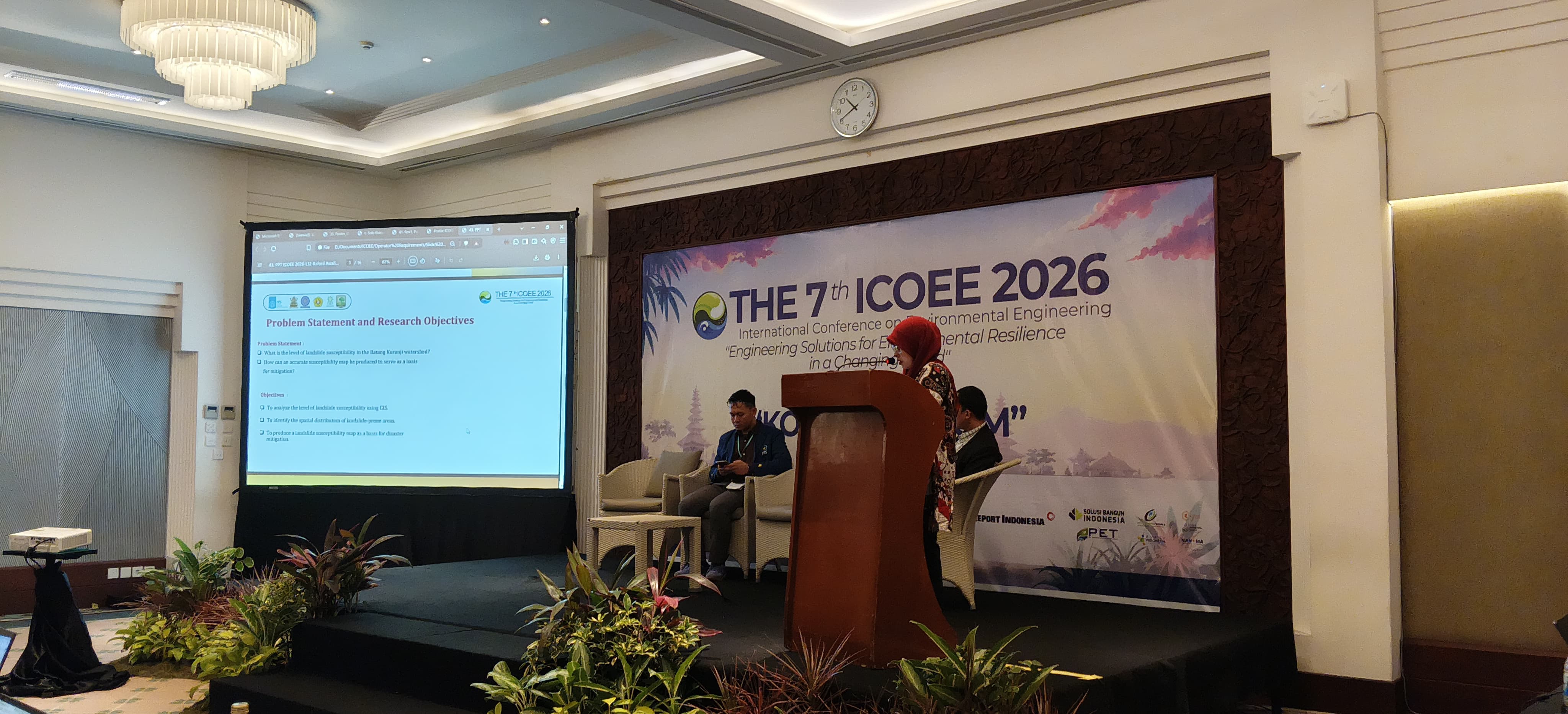
Lecturers from the Department of Agricultural and Biosystems Engineering, Faculty of Agricultural Technology, Andalas University, have achieved international recognition through their participation in the International Conference on Environmental Engineering (ICOEE) 2026, held at the Bintang Bali Resort on 30–31 July 2026. The conference serves as a platform for academics, researchers, and practitioners from various countries to share research findings and innovations in environmental engineering and sustainable development.
At the conference, a research team comprising Rahmi Awalina and Ayendra Asutmi from Andalas University, alongside Wida Susanty Hj. Suhaili from Universiti Teknologi Brunei, presented their research titled “Spatial Analysis of Landslide Susceptibility in the Batang Kuranji Watershed.” The study addresses the strategic issue of landslide disaster mitigation through the use of Geographic Information System (GIS) technology as a foundation for decision-making in regional management.
The research focused on the Batang Kuranji Watershed in Padang, which is characterised by hilly to mountainous topography and high rainfall. These conditions, combined with intensive land-use changes, volcanic geological conditions, and vulnerable soil types, make the area highly prone to landslides. Using a Weighted Overlay spatial analysis method, the study integrated five key parameters: slope, rainfall, geology, soil type, and land cover. Each parameter was classified and weighted according to its influence on landslide occurrences to produce a comprehensive landslide susceptibility map.
The results indicate that landslide susceptibility in the Batang Kuranji Watershed is divided into five classes: very low (4.21%), low (25.68%), moderate (33.73%), high (34.82%), and very high (1.55%). Areas with high to very high susceptibility are generally located in the upstream portion of the watershed, characterised by steep slopes, high rainfall, volcanic rock, and significant land-cover changes. Conversely, downstream areas are dominated by low to very low susceptibility due to relatively flat topography. Overall, approximately 70.10% of the Batang Kuranji Watershed falls into the moderate to very high susceptibility category, necessitating special attention in watershed management, spatial planning, and disaster mitigation efforts.
The resulting landslide susceptibility map is expected to serve as a scientific basis for local governments, regional planners, and stakeholders in determining priority conservation areas, formulating disaster mitigation strategies, and designing safer, more sustainable development.
Rahmi Awalina, the lead researcher, stated that this research is a contribution from Andalas University in providing scientific information to support disaster risk reduction in Indonesia. “The Batang Kuranji Watershed is a strategic area in Padang with high landslide risk. Through this research, we aim to produce accurate spatial information to serve as a scientific basis for local governments in formulating spatial planning policies, determining conservation priorities, and designing more effective disaster mitigation strategies,” said Rahmi.
She also noted that the collaboration with Universiti Teknologi Brunei is a vital step in strengthening international research networks. The research also contributes to the Sustainable Development Goals (SDGs), specifically SDG 11 (Sustainable Cities and Communities) and SDG 13 (Climate Action). The participation of the Andalas University research team was supported by funding from the Indonesian Endowment Fund for Education (LPDP) under the Ministry of Higher Education, Science, and Technology of the Republic of Indonesia.