
Anak Krakatau Erupts Again for 30 Seconds; 3km Radius Warning Issued
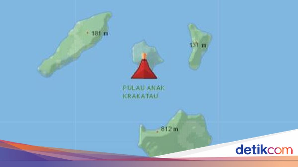
The Geological Agency of the Ministry of Energy and Mineral Resources has reported that the eruptive activity of Mount Anak Krakatau is ongoing. Most recently, at 03:53 WIB, an eruption was recorded lasting for 30 seconds.
“An eruption of Mt. Anak Krakatau occurred on Sunday, 6 September 2026, at 03:53 WIB. The eruption was recorded on the seismograph with a maximum amplitude of 46 mm and a duration of 30 seconds,” stated the Geological Agency via its X account on Sunday (6/9/2026).
Meanwhile, the Ministry of Energy and Mineral Resources’ Magma site noted that eruptions are still continuing, although no ash column height was observed.
“The height of the eruption column was not observed. At the time of this report, the eruption is still ongoing,” the Magma site stated.
The Geological Agency has requested that residents avoid a 3km radius from the crater.
“The public, visitors, tourists, and hikers must not approach Mt. Anak Krakatau or engage in activities within a 3km radius of the active crater,” it explained.
Ash Dispersion of Anak Krakatau
BMKG previously revealed the distribution of volcanic ash resulting from the eruption of Mount Anak Krakatau. BMKG stated that the ash has reached the Lampung region and parts of Jakarta.
BMKG presented volcanic ash dispersion data as of 04:00 WIB, identifying two distinct ash clusters.
“Based on information from PVMBG and VAAC Darwin, as well as analysis of Himawari-9 RGB imagery on 6 September 2026 at 04:00 WIB, two clusters of volcanic ash dispersion from Mount Anak Krakatau have been identified,” BMKG wrote on its website.
The first cluster is moving towards Jakarta, Banten, and West Java, with ash dispersion reaching an altitude of 20,000 feet.
“Dispersion from the surface to an altitude of 20,000 ft was observed towards the Northeast-South, covering parts of DKI Jakarta, Banten, West Java, and surrounding waters,” it explained.
Meanwhile, dispersion from the surface to an altitude of 50,000 feet was observed towards the Southwest-Northwest. This area covers parts of Lampung and surrounding regions.
“This includes parts of Banten, Lampung, Bengkulu, the southern Sunda Strait, and the Indian Ocean to the west of Bengkulu, Lampung, and Banten,” the agency added.