
Anak Krakatau Ash Reaches Jakarta: How Severe Is the Eruption?
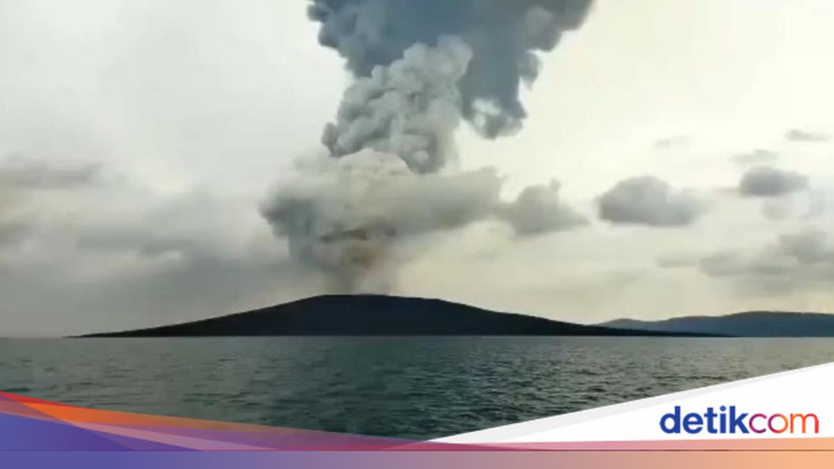
The eruption of Mount Anak Krakatau (GAK) has resulted in the spread of volcanic ash to several areas in Lampung, Banten, West Java, and DKI Jakarta. The Meteorology, Climatology, and Geophysics Agency (BMKG) has recorded two main patterns of volcanic ash movement at different altitudes.
According to detikEdu, the Acting Deputy for Meteorology at BMKG, Andri Ramdhani, said the eruption activity was monitored through the Significant Meteorological Information (SIGMET) system, an early warning information system used for aviation safety purposes.
The first SIGMET was issued after the eruption on 4 September 2026 at 23:23 WIB. As of Sunday (6/9/2026), BMKG had issued 50 SIGMETs periodically to monitor the development of ash distribution.
“The latest SIGMET update records dust distribution moving up to an altitude of 20,000 feet towards the east and 50,000 feet towards the west,” said Andri in a written statement on Sunday (6/9/2026).
Volcanic ash at altitudes of up to 20,000 feet, or 6.09 km, moved towards the northeast to the south. Areas affected by the ash distribution include DKI Jakarta, Banten, West Java, and surrounding waters.
Meanwhile, volcanic ash at altitudes of up to 50,000 feet, or 15 km, moved towards the southwest to the northwest. Affected areas include Banten, Lampung, Bengkulu, the southern Sunda Strait, and the Indian Ocean.
The volcanic ash distribution also caused several airports to be temporarily closed. Based on a Notice to Airmen (NOTAM) issued by Perum LPPNPI/Airnav on 6 September, there were temporary operational closures of Soekarno-Hatta Airport, Halim Perdanakusuma Airport, Radin Inten II Airport, and Budiarto Airport at different times. This notice is urgent regarding changes in operational conditions or potential aviation hazards.
The Deputy for Geophysics at BMKG, Ardhasena Sopaheluwakan, said sensors indicated that the tsunami potential resulting from the Mount Anak Krakatau eruption was at a low level. This was based on monitoring of 20 tsunami gauge sensors around the Sunda Strait until 07:00 WIB, which showed no sea level anomalies.
Furthermore, analysis using High-Frequency (HF) Radar Array technology in Carita and Tanjung Lesung recorded that the tsunami probability at that time was at a low level (below 40 percent), with wave heights maintained at around one metre. Nevertheless, geomagnetic disturbances appeared in the last 12 hours.
“BMKG recorded secondary phenomena in the form of geomagnetic disturbances and volcanic lightning. Sensors in South Lampung and Serang recorded geomagnetic disturbances that were consistent with an increase in volcanic lightning strikes over the last 12 hours. However, the intensity of these disturbances was not as great as the initial eruption,” explained Ardhasena.
To date, BMKG continues to optimise national preparedness through an integrated multi-instrument monitoring scheme operating non-stop for a full 24 hours. BMKG urges all levels of society, particularly those active and residing along the coast of the Sunda Strait, to increase vigilance while remaining calm.
For real-time updates, the public can refer to official communication channels released periodically by BMKG, the Geological Agency/PVMBG, and relevant local government agencies.