
Anak Krakatau Ash Can Spread Far Depending on Eruption Height and Wind
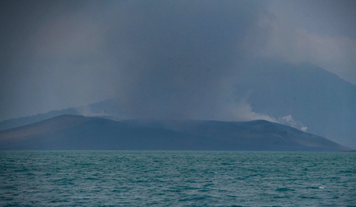
Volcanic ash from the eruption of Anak Krakatau on 4–5 September 2026 can be carried to areas far from the centre of the eruption. A preliminary study by the National Research and Innovation Agency (BRIN) shows that the distribution pattern of the ash is heavily influenced by the height of the eruption column as well as the speed and direction of the wind in each atmospheric layer.
Dini Nurfiani, a researcher at BRIN’s Geological Disaster Research Centre, stated that volcanic material ejected at different altitudes can follow different wind directions. This condition affects both the distance and the direction of the ash movement.
“Overall, this profile shows that ash transport is strongest when eruption material reaches the 2/00–300 hPa layer, whereas ash in lower layers tends to move more slowly and is more spatially limited,” said Dini on Friday (18/9).
The 200–300 hPa layer is located at an altitude of approximately 9–12 kilometres. At that layer, wind speeds during the eruption period reached about 20–30 metres per second, with a dominant movement towards the west to south-west sectors.
Meanwhile, in the lower to lower-middle atmosphere at an altitude of approximately 0.1–5.6 kilometres, wind speeds tend to be weak to moderate, generally below 10 metres per second. This condition causes ash near the surface to have a more limited transport range.
“Ash from the eruption column that reaches middle to upper altitudes has the potential to spread further compared to ash in lower layers. Therefore, the height of ash injection and wind conditions in each atmospheric layer are important parameters for understanding its distribution pattern,” Dini explained.
The study was conducted by BRIN’s Physical Volcanology Research Group by analysing the atmospheric conditions around Anak Krakatau using three-dimensional wind data from the NOAA Global Forecast System (GFS).
To reconstruct the movement of the ash, the BRIN team also performed three-dimensional simulations using the Ash3d model on the VICTOR Jupyter Notebook platform. The modelling was created in four scenarios based on estimated column height and eruption duration from satellite imagery data. The estimated height of the ash column in these scenarios ranged from 6 to 16 kilometres.
Preliminary results of the 36-hour simulation show that the ash distribution generally moves towards the west to south-west from the centre of the eruption. Some material also dispersed towards the north, reaching parts of the Bandar Lampung region.
“The difference in direction and the extent of the spread demonstrate the strong influence of changing wind conditions on height and time,” said Dini.
The modelling also indicates ash deposition in several areas. Sebesi and Sebuku islands, located approximately 15 and 24 kilometres from Anak Krakatau, were identified as receiving deposition in the simulation.
In parts of Lampung, the model produced an average deposition thickness of approximately 12 millimetres. However, BRIN emphasised that this figure is still an initial estimate based on modelling scenarios and is not yet a verified actual value in the field.
“The magnitude and spatial pattern of deposition still involve uncertainty because they are highly dependent on the eruption parameters and atmospheric conditions used as model inputs. Therefore, these results need to be validated with field data and more complete eruption parameters,” Dini added.
BRIN noted that one of the challenges in reconstructing ash distribution is accurately determining the height of the eruption column. Eruptions occurring at night can make visual observation difficult due to darkness and fog.
Furthermore, estimates of ash distribution height from satellite imagery do not always match the height of the eruption column or the initial point where volcanic material is injected into the atmosphere.
The BRIN research team has also obtained ash samples from the 4–5 September 2026 eruption from several affected areas, including Cilegon and Lampung. The samples will be analysed to determine particle size distribution, surface morphology and texture, constituent components, and the mineral composition of the ash.
“Refining eruption parameters and atmospheric conditions is necessary to obtain a more representative reconstruction of ash distribution. This information is important not only for understanding eruption dynamics but also for supporting volcanic ash hazard evaluation and more precise mitigation strategies,” concluded Dini.