
Anak Krakatau Area Reaches 341.5 Hectares, Surpassing Pre-Collapse Size
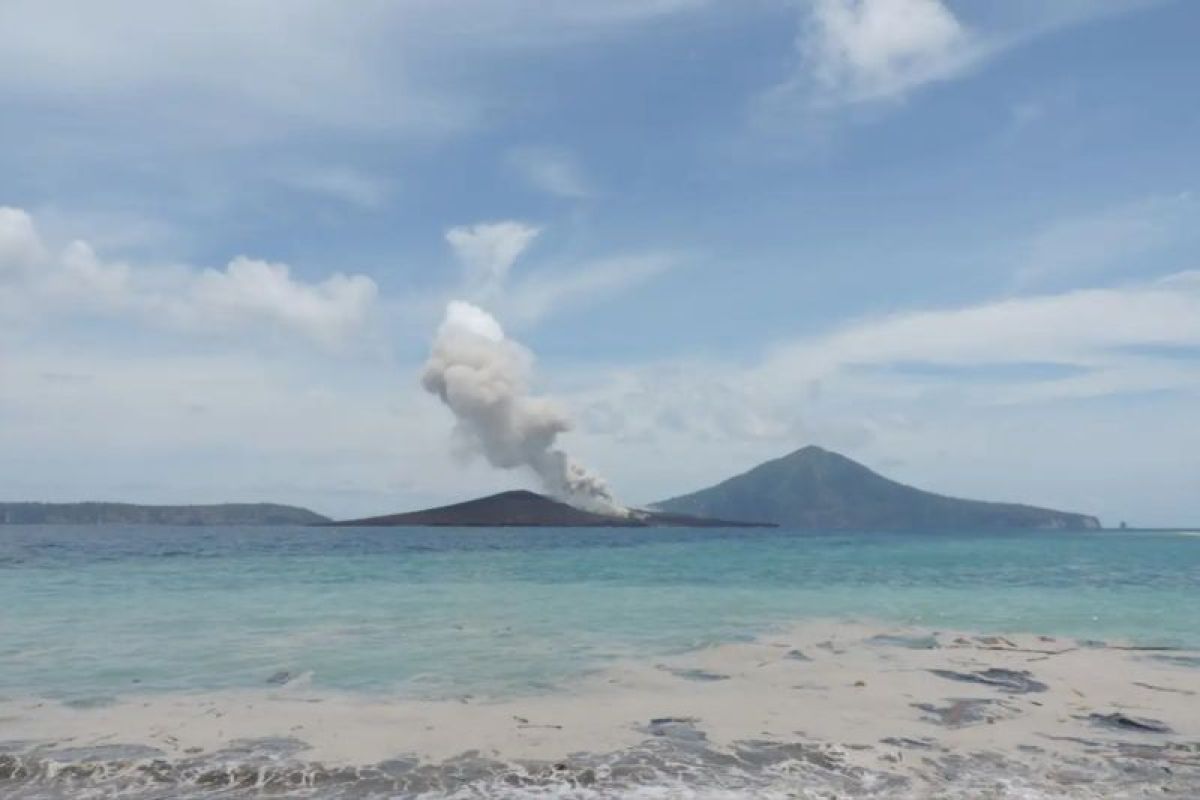
The Centre for Volcanology and Geological Disaster Mitigation (PVMBG) of the Geological Agency has recorded that the total land area of Mount Anak Krakatau has expanded to reach 341.5 hectares, surpassing the size of the volcano before it experienced an eruption and collapse in December 2018.
Rita Susilawati, Head of PVMBG at the Ministry of Energy and Mineral Resources, explained that the expansion data is based on monitoring from Sentinel satellite imagery as of 15 September 2026. Before the eruption and landslide disaster on 22 December 2018, the area of Anak Krakatau had reached 300 hectares as of 19 December 2018.
“The collapse of the southwestern sector drastically reduced the mountain’s land area, leaving only 246.18 hectares as of 26 December 2018,” she stated in a brief message from Bandung on Friday night.
However, the continuous accumulation of eruptive material has allowed the mountain’s landmass to recover and expand.
PVMBG data shows that Sentinel imagery as of 8 August 2026 recorded the land area returning to 312.3 hectares, which was then supplemented by 32.8 hectares of eruptive material deposits during the eruption phase of 4–6 September 2026, bringing the total current area to 341.5 hectares.
Dini Nurfiani, a researcher at the BRIN Geological Disaster Research Centre, explained that the journey of Anak Krakatau demonstrates that volcanoes are dynamic geological systems that evolve through long cycles of growth, eruption, collapse, and the formation of new cones.
“The eruption history of Anak Krakatau shows that this volcano develops through cycles of growth, eruption, collapse, and rebuilding. After the 2018 collapse, the morphology and eruption style changed drastically, followed by a regrowth phase through eruptions and the formation of new lava,” she said.
Dini detailed that the collapse of the southwestern sector on 22 December 2018 discharged approximately 0.116 cubic kilometres of material into the sea, reducing the peak height from 330 metres to 120 metres and triggering a tsunami in the Sunda Strait.
However, from 2019 to 2026, eruptive activity transitioned back to Strombolian types, lava fountains, and new lava flows that accumulated within the post-collapse crater, consistently increasing the volcano’s land volume.
Nevertheless, the BRIN research team emphasised that the growth of Anak Krakatau is not symmetrical. The southwestern sector grows atop a steep underwater caldera slope, whereas the northeastern part rests on shallower seabed.
The physical structure of the volcano, composed of heavy, solid lava accumulations atop light, porous tuff deposits, combined with its position on slopes of varying steepness, remains the primary factor influencing the long-term stability dynamics of Anak Krakatau’s slopes.
“The eruption records of Anak Krakatau show that volcanic behaviour is not always constant, but can change following the development of the volcano’s body, the magma system, and environmental conditions,” said Dini.