
AirNav ensures flight safety in Kalimantan airspace
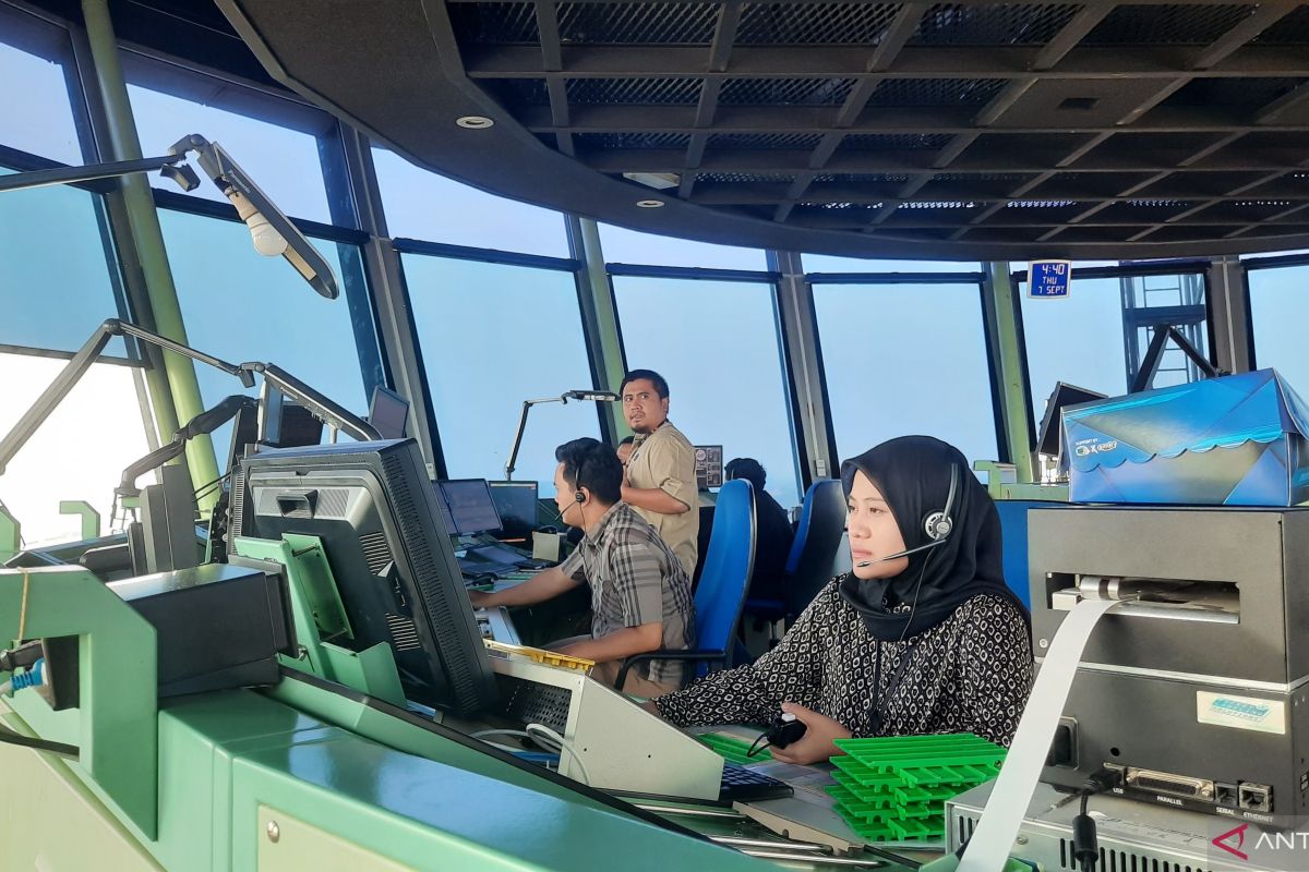
Flight safety is our top priority.
Tangerang (ANTARA) - The Indonesian Air Navigation Service Provider (LPPNPI), known as AirNav Indonesia, is ensuring flight safety and security in the Kalimantan airspace as haze from forest and land fires continues to spread.
AirNav Indonesia President Director Capt. Avirianto Suratno stated in a written statement received in Tangerang on Wednesday that, as part of its commitment to maintaining aerial safety, AirNav Indonesia is tightening comprehensive monitoring, particularly regarding changes in visibility and meteorological conditions that could potentially affect operational safety.
“Flight safety is our top priority. In facing haze conditions such as the current situation, AirNav Indonesia continues to monitor airspace conditions, including changes in visibility, weather conditions, and other meteorological information,” he said.
Suratno noted that dynamic atmospheric conditions and visibility require continuous monitoring to ensure that the information needed to support flight safety is available quickly and accurately.
“We coordinate this information with all relevant stakeholders to ensure every flight receives the necessary information to support operational decision-making,” he explained.
Based on monitoring on Wednesday, 2 September 2026, until 11:57 WIB, the most significant impact of the haze occurred in Pontianak, West Kalimantan, where visibility dropped drastically to 600 metres. This condition caused delays for all flights.
He continued, one flight bound for Jakarta-Pontianak was forced to perform a ‘return to base’ (RTB). Meanwhile, flights in Palangkaraya, Central Kalimantan, continue to operate normally with safe visibility at around 3,500 metres.
“The previous day, Tuesday, 1 September 2026, the impact of the haze also entered the airspace of North Kalimantan,” he said.
As a result, visibility at Juwata Airport, Tarakan, dropped sharply to a range of 1,000–5,000 metres. This caused one flight to be diverted to the nearest airport, while three other flights experienced delays.
On the same day, extreme visibility reductions due to haze were also recorded at several pioneer airports in Kalimantan. In Malinau, visibility dropped to 2,000 metres, causing one pioneer flight to be diverted.
Furthermore, at Long Apung Airport, visibility was only between 150-300 metres, while at Tanjung Harapan Airport, it ranged between 400-1,000 metres.
“However, today (2/9), conditions in North Kalimantan are observed to be improving, with visibility increasing to the range of 3,000–5,000 metres,” he said.
According to him, AirNav is not only monitoring the impact of haze from forest fires but is also monitoring the impact of the Mount Sinabung eruption in North Sumatra. Today, flight operations at Kualanamu Airport have returned to normal.
“AirNav Indonesia is conducting comprehensive monitoring to ensure that all airspace is safe to traverse. If there is any potential disruption, we will promptly release that information to pilots and airlines in accordance with procedure,” he explained.