
AI-Powered YAM-9 Satellite Can Locate Objects on Earth via Text Commands
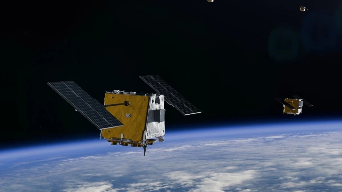
Space-based remote sensing technology has marked a new milestone after the YAM-9 satellite successfully identified and described various objects on the Earth’s surface autonomously, without assistance from ground-based analysis.
The achievement marks the first time an artificial intelligence (AI) model capable of understanding language and interpreting images has been operated directly in space. Satellite operations, which previously required the writing of complex command sequences, have now been simplified to merely entering simple text commands in everyday language.
The YAM-9 satellite was developed by space company Loft Orbital and launched in autumn 2025 as a test vehicle for the space AI project. It serves as a platform for the NAVI-Orbital system, a piece of software resulting from a collaboration between NASA’s Jet Propulsion Laboratory (JPL) and Loft Orbital.
Embedded within the satellite are an Nvidia Jetson Orin AGX graphics card and the Gemma 3 vision-language model created by Google DeepMind. The model is designed to be compact enough to process text and images simultaneously on hardware with limited capacity, far from data centres.
The NAVI-Orbital system is designed with a multi-agent architecture consisting of three modules: a task coordinator, an image analyst, and a dialogue agent that answers operators’ questions.
In the first orbital test conducted last April, the model successfully classified sensor data, from mapping residential areas, farmland, coastlines and mountains, to infrastructure around railway hubs. Prior ground testing on 7,960 images also recorded a classification accuracy rate of 88.2 per cent.
Direct application of AI in orbit is predicted to revolutionise the space industry market by cutting the surge of raw data that usually has to be sent to Earth for analysis. To monitor the entire Earth in real time, a constellation of around 50 to 100 satellites similar to YAM-9 would be required.
“This AI truly ‘sees’ what is in the image and accurately identifies what analysts are looking for—bridges, highways, specific bodies of water, or signs of natural disasters,” said Sarah Preston, senior marketing manager at Loft Orbital.
The development of this technology also opens up opportunities for real-time Earth monitoring. Loft Orbital’s head of AI, Paul Lasser, likened the capability to a constant patrol from space, in which the satellite would only transmit data when it finds the criteria being sought, such as oil spills, construction along borders, or signs of flooding and forest fires.
Beyond Earth monitoring, the NAVI-Orbital technology is designed for future exploration missions to the Moon and Mars. The project’s initial idea emerged when JPL researchers Juan Delfa Victoria and Taran Cyriac John were thinking about a digital assistant for astronauts.
While wearing pressurised spacesuits that make typing on a keyboard impossible, astronauts could issue voice commands directly to an interactive AI assistant accompanying their mission.
Although the system’s reliability against malicious command attacks still requires further research, the development team is optimistic that this orbital AI system will soon become the new standard for space platforms. (Source: Universe Space Tech, Warp News/P-3)