
After the Moon, China Now Creates Map of Mars Surface
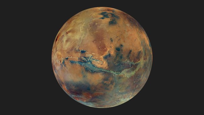
Following its work on the Moon, China plans to complete a geological map of the surface of Mars by the end of 2028. This will be the first AI-based map of its kind and will serve as a vital part of the preparations for the Tianwen-3 mission.
Hiu Zengqian, the chief scientist of Tianwen-3, stated that the map will cover the entire surface of Mars. The objective of its creation is to establish a global standard for the planet’s geological history, as reported by the South China Morning Post.
One of the key areas of focus includes the potential existence of an ancient intercontinental ocean approximately 3.5 billion years ago, as well as short-term flooding events occurring 1.6 billion years ago.
The map is being developed using AI and will integrate findings from China’s first Mars rover, Zhu Rong. The rover landed on Mars in May 2021 and traversed the planet’s surface for nearly a year, covering a distance of more than 1.9 km.
According to Xinhua, the Martian surface map will be at a scale of 1:50,000. The methodology used for this project is also intended to serve as a mapping model for other celestial bodies.
“This will serve as a geological mapping model for the Moon, Venus, and asteroids in the future,” the Xinhua report stated.
The Tianwen-3 mission is scheduled to launch at the end of 2028. Through this mission, China plans to collect 500 grams of Martian samples to be returned to Earth in 2031.
The Tianwen-3 mission will be executed in two separate launches. The first will involve a spacecraft containing a lander and an ascent vehicle to collect planetary material.
The subsequent launch will consist of a spacecraft carrying an orbiter and a module designed to transport the collected samples back to Earth.