
Accelerating One Map Policy, Home Affairs Ministry Fast-Tracks Village Boundary Delimitation in Three Southeast Sulawesi Regencies
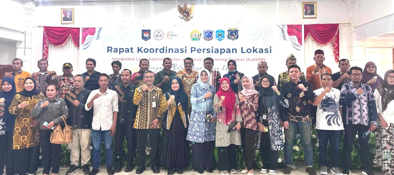
The Directorate General of Village Government Development (Pemdes) at the Ministry of Home Affairs, through the Integrated Land Administration and Spatial Planning Project (ILASPP), is accelerating the completion of village boundaries in three regencies in Southeast Sulawesi Province: Muna, West Muna, and Central Buton. This programme is urgent because national data for 2026 shows that the real achievement of definitive village boundaries in Indonesia has only reached 14.4% (10,909 villages). For the three regencies in Southeast Sulawesi, the progress on village boundary completion is still recorded at 0%. Director General of Village Government Development La Ode Ahmad P. Bolombo stressed that village boundary delimitation is not merely a domestic administrative matter, but a crucial global agenda for territorial legality, national spatial data integration, dispute resolution, and public service efficiency. “Thousands of miles of state and continental borders begin with village boundaries,” he said during a Coordination Meeting for the Preparation of Institutional Strengthening for Improved Village Service Delivery Village Boundary Delimitation (ILASPP) for 2026 in Muna on Saturday. In this ILASPP, the Directorate General of Village Government Development is collaborating with the Ministry of Agrarian Affairs and Spatial Planning/National Land Agency, the Geospatial Information Agency (BIG), and the World Bank. La Ode expressed hope that the use of technology such as satellite imagery and spatial mapping would produce accurate and legally certain village boundary data. According to him, this step is also in line with the government’s commitment to realising the President’s Asta Cita programme of building from the village and from the grassroots for economic equality and poverty eradication. Clear and firm village boundaries serve as the foundation for legal certainty in infrastructure development, village fund governance, and optimal management of village economic potential. “Referring to the directive of the Minister of Home Affairs, regents and mayors hold the key role in establishing village boundaries, which will later be ratified through a Regent Regulation in accordance with the mandate of Home Affairs Ministerial Regulation Number 45 of 2016,” he explained. To support the regions, the Ministry of Home Affairs has also issued a Circular Letter of the Minister of Home Affairs Number 900.1.1/4206/SJ regarding funding support for village boundary delimitation in the regions. On that occasion, he requested that regional governments fully facilitate the regulatory and budgeting processes in their areas. The community must also actively participate in the establishment of village boundaries to minimise conflict. Furthermore, central and regional collaboration must be strengthened. “Data support, base maps from BIG, and ILASPP technology must be maximised for accurate results. Immediately issue and complete the Regional Head Regulation regarding village boundaries as formal legal standing to be reported to the Ministry of Home Affairs,” he said.