
Academic: Simultaneous volcanic activities are not interrelated
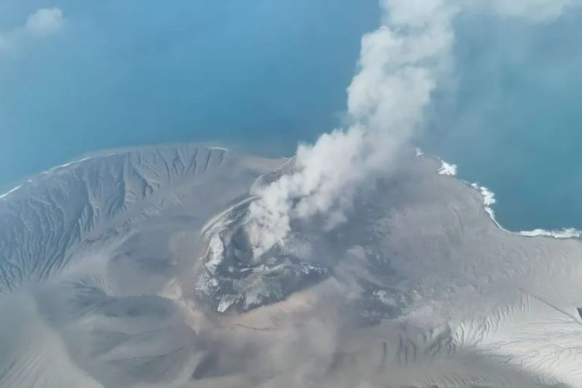
Sumedang (ANTARA) - Professor Nana Sulaksana, Professor at the Faculty of Geological Engineering at Universitas Padjadjaran (FTG Unpad), has said that volcanic activity in neighbouring areas has no direct connection, as each volcano has a different magmatic system.
Speaking in Sumedang, West Java, on Monday, Prof. Nana said these differences are influenced by the depth of the magma chamber, the pathway of the magma, and the geological conditions and rock through which the magma passes before reaching the surface.
“So there is no direct relationship between one volcano and another,” he said.
He explained that the activity of each volcano needs to be monitored based on its own characteristics and data, so an increase in activity at one volcano cannot be taken as a direct indicator for another.
“Each volcano has its own system, depending on the depth of the magma chamber, the journey of the magma, and the rock it passes through,” he said.
The statement was a response to activity at several volcanoes in Indonesia which have also recorded eruptions in a period close to that of Mount Anak Krakatau, including Mount Ibu, Semeru, Lewotobi Laki-laki, Ili Lewotolok and Sinabung.
He believes the situation does not indicate a direct relationship between volcanic activities.
On the same occasion, Prof. Nana also said that Mount Anak Krakatau itself has been monitored intensively using various instruments to track the development of its volcanic activity.
Monitoring is carried out using seismographs to detect seismic activity caused by magma movement, as well as GPS-based geodetic instruments to measure changes or micro-movements in the body of the volcano.
“In that monitoring, several variables are observed, including the movement of magma from deep within the earth. This movement is visible on seismographs installed at a minimum of three points on the body of the volcano,” he said.
In addition, monitoring is reinforced by visual observation of smoke plumes, internet-connected CCTV, and multi-gas analysis to detect changes in the volcano’s activity.
Historical eruption data and geological maps are also used as considerations in determining a volcano’s status.
Nana said Indonesia has a high level of geological disaster risk because it lies at the meeting point of three tectonic plates and within the Pacific Ring of Fire.
“The consequence is that we are indeed prone to earthquakes and eruptions, but on the other hand, this condition also provides the potential for geothermal energy and mineral resources,” he said.
He urged the public to follow official information and recommendations from the relevant authorities in responding to Mount Anak Krakatau’s activity, and not to link activities between volcanoes without a scientific basis.