
A Total of 1,847 Land Plots Affected by Bekasi River Normalisation Activity
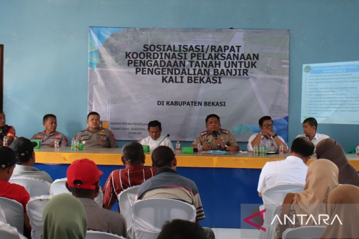
Bekasi River normalisation is a strategic step to reduce the risk of flooding while improving the river’s function as flood control infrastructure.
The Bekasi Regency Land Office in West Java has commenced the identification phase for 1,847 land plots affected by the national strategic flood control project through the normalisation of the Bekasi River flow, aiming to minimise flood risk in the area.
“The land acquisition process for the Bekasi River flood control project has entered the implementation phase. We are conducting an inventory and identification of 1,847 land plots spread across five villages starting 15 June 2026,” said Head of the Bekasi Regency Land Office Rahman in Cikarang on Wednesday.
He stated that the normalisation of the Bekasi River is an urgent necessity given the high threat of flooding due to urban development, population growth, and the reduced capacity and quality of the river caused by siltation.
“The Bekasi River normalisation is a strategic measure to reduce flood risk while enhancing the river’s function as flood control infrastructure,” he said.
The project’s implementation refers to Law Number 2 of 2012 concerning Land Acquisition for Development in the Public Interest and the West Java Governor’s Decree on the Determination of the Location for the Bekasi River Flood Control Project.
He mentioned that the land requirement for this project reaches 161,237 square metres spread across five villages: Babelan Kota, Kedung Pengawas, and Muarabakti in Babelan District, as well as Sukamekar in Sukawangi District and Sriamur in North Tambun District.
The breakdown of land plots includes 72 plots in Babelan Kota, 707 plots in Kedung Pengawas, 136 plots in Muarabakti, 764 plots in Sukamekar, and 168 plots in Sriamur.
According to him, the identification process through outreach activities to communities affected by the Bekasi River normalisation project is a crucial stage before land measurement by Task Force A, which is scheduled to begin on 15 June 2026.
During the measurement process, landowners are requested to be present and prepare supporting documents such as identity cards, family cards, and valid proof of land ownership. Residents are also asked to install boundary markers for their land plots to facilitate the land acquisition stage.
Rahman expressed hope that all stages of land acquisition proceed smoothly with support from the community and landowners affected by the project, given that the success of the Bekasi River normalisation not only plays a role in minimising the flooding that has been an annual problem.
“This normalisation also provides better protection for economic activities and community life in the Bekasi area. Public support is essential for this project to proceed as planned, so its benefits can be felt by residents immediately,” he said.