
80 Scientists from 16 Countries Propose Large-Scale Survey of Antarctic Coastlines
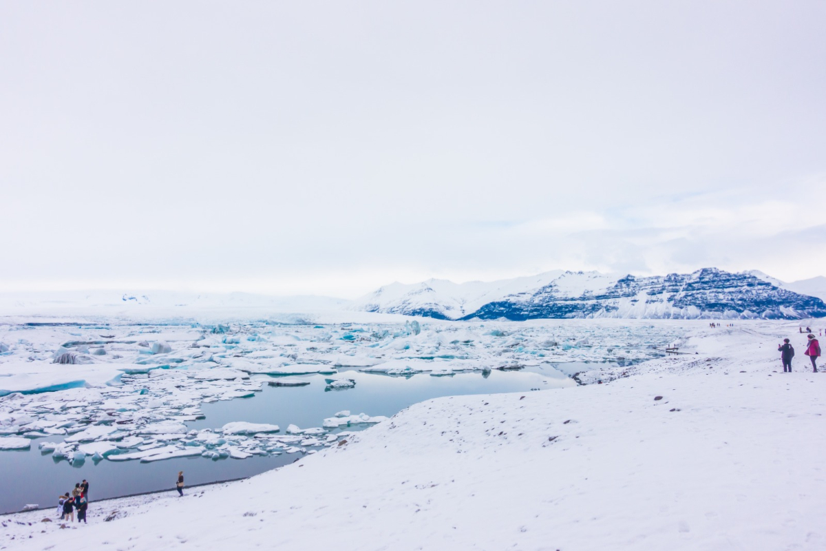
Antarctica still contains many areas that have not been fully mapped. This situation has prompted scientists to propose a large-scale geophysical survey across the continent’s coastlines.
This step is expected to fill the data gaps that have long hindered accurate predictions of global sea-level rise. The proposal stems from an international study involving 80 scientists from 16 countries specialising in glaciology, oceanography, geophysics, and atmospheric science.
The research, published in the journal Reviews of Geophysics, is coordinated through the Scientific Committee on Antarctic Research (SCAR) RINGS Action Group. According to the Australian Antarctic Program Partnership (AAPP), scientists have proposed three survey routes encircling Antarctica.
The survey will monitor ice flow from the land, the grounding zone—where ice begins to detach from the bed and float—to the ice shelves that face the sea directly. Coastal areas are vital for understanding changes in the Antarctic ice sheet, as ice, sea, atmosphere, and bedrock interact in these regions. Even small changes in these areas can affect how quickly ice flows into the ocean.
Based on reports from the British Antarctic Survey (BAS), there remains a significant gap in direct observations regarding the conditions of the coastal seabed and cavities beneath ice shelves. This lack of data makes it difficult for scientists to accurately estimate the amount of ice loss and its subsequent impact on sea-level rise.
A primary issue is the limitation of satellite observations. While satellites can monitor ice movement and surface changes, they cannot directly observe the bedrock beneath the ice layers. According to information from the Alfred Wegener Institute (AWI), Dr Kenichi Matsuoka, chair of the RINGS Action Group, explained that satellite data alone is insufficient to accurately estimate the volume of ice lost to the sea.
Furthermore, computer models still face limitations in predicting future changes to the ice sheet. Therefore, direct data collection in the Antarctic coastal regions is required to help generate more accurate predictions.
Researchers believe that a survey of the entire Antarctic coastline requires international coordination. Integrated data collection is seen as a way to avoid overlooking certain areas and to prevent overlapping research efforts. According to the AAPP, this large-scale survey is also intended to serve as a foundation leading towards the International Polar Year 2032–2033.
With more complete data, scientists hope that ice sheet models can be improved, making sea-level rise projections more reliable for the future planning of coastal regions.
Source: jawawa.id (https://jawawa.id/newsitem/80-scientists-from-16-countries-propose-large-scale-survey-of-antarctic-coastlines-1788886376)
Originally published by Media Indonesia (https://mediaindonesia.com/teknologi/931247/80-ilmuwan-dari-16-negara-usulkan-survei-besar-besaran-di-pesisir-antarktika), translated from Indonesian