
787 Homes Damaged in Sigi Following M 6.7 Palu Earthquake
The Sigi Regency Government in Central Sulawesi has recorded that 787 homes were damaged across five sub-districts following a magnitude 6.7 earthquake that struck the region on Tuesday (16/6). Sigi Regional Disaster Management Agency (BPBD) Head Henri Kusuma detailed that 707 homes suffered light damage, 68 moderate damage, and 12 severe damage.
“Temporary data as of tonight shows 17 villages spread across five sub-districts — Sigi Kota, Palolo, Nokilalaki, Tanambulava, and Lindu — were severely affected by the earthquake,” Henri said in Sigi on Wednesday (17/6/2026).
He stated that the total number of residents affected by the earthquake in Sigi Regency reached 912 families with 1,412 individuals. “One resident died, 42 people sustained minor injuries, and 13 people suffered serious injuries. All victims have been treated by medical teams from community health centres and Torabelo Regional General Hospital,” he noted.
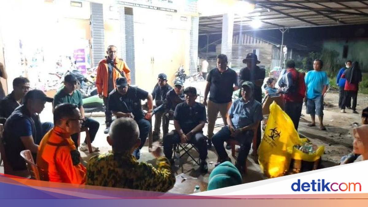
Meanwhile, Sigi Regent Moh Rizal Intjenae confirmed that all handling measures for affected communities in Kamarora A and Kamarora B villages, Nokilalaki Sub-district, are on target and optimal. He gathered relevant regional apparatus organisations (OPD) to accelerate recovery efforts at the disaster-affected locations.
“I have assembled the technical OPD heads to speed up recovery steps in the earthquake-affected areas,” Rizal said. He also instructed the BPBD, village heads, and sub-district heads to work together to finalise damage data within 24 hours. “We have also begun distributing food, clean water, and setting up emergency tents in Nokilalaki and Palolo sub-districts,” he added.
The Meteorology, Climatology, and Geophysics Agency (BMKG) reported that the tectonic earthquake with a magnitude of 6.7 struck the Palu area, Central Sulawesi, on Tuesday at 10:27 WIB. BMKG confirmed the epicentre was located on land at coordinates 1.13 degrees South Latitude and 120.23 degrees East Longitude, precisely 42 kilometres southeast of Palu City.
Source: jawawa.id (https://jawawa.id/newsitem/787-homes-damaged-in-sigi-following-m-6-7-palu-earthquake-1781661099)
Originally published by detikcom (https://news.detik.com/berita/d-8534828/787-rumah-di-sigi-rusak-akibat-gempa-m-6-7-palu), translated from Indonesian