
5 Active Fault Lines in West Java: Paths, Characteristics, and Earthquake Potential
Geologically, West Java is one of the regions in Indonesia with a very high level of seismic activity. The existence of the subduction zone in the southern Indian Ocean, along with a series of active faults on land, makes this region prone to earthquake tremors. Understanding the characteristics and paths of active faults in West Java is not intended to cause panic, but rather serves as a crucial step in disaster mitigation and risk-based spatial planning.
An active fault is a fracture in the earth’s crust that has experienced displacement within the last 10,000 years and has the potential to move again in the future. In West Java, several major faults have long been mapped, alongside new faults identified following major earthquake events.
The Cimandiri Fault is one of the oldest and most well-known active faults in West Java. This fault line stretches approximately 10/0 kilometers, starting from the Cimandiri River estuary in Pelabuhanratu, Sukabumi Regency, heading northeast through Cianjur, to the West Bandung area. This fault is divided into several segments, including the Cimandiri, Nyalindung-Cibeber, and Rajamandala segments. Activity on the Cimandiri Fault has been recorded to trigger many destructive earthquakes in history, making it a primary focus of monitoring by the Meteorology, Climatology, and Geophysics Agency (BMKG).
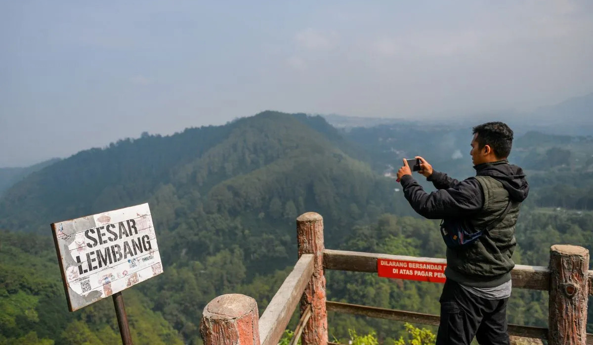
The Lembang Fault is an active fault stretching about 29 kilometres north of Bandung City. Its path extends from the foot of Mount Manglayang in the east to the Padalarang area in the west. This fault is highly monitored due to its proximity to the densely populated areas in the Bandung Basin. Morphologically, the Lembang Fault is clearly visible as a long, steep escarpment. Geologists estimate that this fault has a relatively long earthquake recurrence period, but its potential magnitude could reach 6.5 to 7.0, which could significantly impact infrastructure in Greater Bandung.
The Baribis Fault is a fault structure stretching across northern West Java, from Purwakarta to the Subang and Majalengka regions. Recent research indicates that segments of the Baribis Fault have also been identified crossing the southern part of Jakarta. The characteristic of the Baribis Fault is a thrust fault. Although its seismic activity tends to be lower compared to the Cimandiri Fault, the potential danger remains high given that its path passes through strategic industrial areas and dense settlements along the northern coast (Pantura) of West Java.
The Garsela Fault is one of the most active faults in West Java in terms of earthquake frequency. This fault has two main segments, namely the Rakutai segment and the Kencana segment, with a total length of approximately 42 kilometres. Although the resulting earthquakes are usually of low magnitude (below M 5.0), their very shallow depth often causes building damage in the Garut and Bandung Regency areas.
The Cugenang Fault is an active fault newly identified by BMKG following the Cianjur earthquake in November 2022. This fault has a path of approximately 9 kilometres traversing nine villages in the Cugenang District. The discovery of this fault serves as a reminder that many active faults on land may not be detailedly mapped until significant seismic activity occurs.
Tectonically, West Java sits above the meeting point of the Indo-Australian and Eurasian plates. Pressure from subduction in the south not only creates volcanoes but also triggers the formation of local faults on land. The soil conditions in West Java, which largely consist of young volcanic deposits, also tend to amplify earthquake tremors, meaning the impact of damage is often more severe compared to regions with hard bedrock.
Active faults are not always visible on the surface. Many faults are covered by settlements or dense vegetation, making regular geophysical research essential to update disaster risk maps. Living in an area with active faults requires continuous preparedness.