
5,922 Forest and Land Fire Hotspots Surround Six Provinces
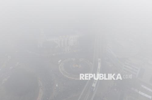
The National Disaster Mitigation Agency (BNPB) is continuing to handle forest and land fires (karhutla) in six priority provinces. This is because hotspots are still being detected in these six provinces.
Acting Head of the BNPB Disaster Data, Information and Communication Centre, Berton SP Panjaitan, said that 1,517 hotspots are still being found in South Sumatra. The estimated area of burnt land in the region has reached more than 1,926 hectares.
“And the visibility there (in South Sumatra) is around 7 kilometres,” he said during an online press conference on Tuesday (25/8/2026).
He added that 447 hotspots were also found in Riau Province, with the estimated burnt land area reaching 15,736 hectares and visibility of around 3.5 kilometres.
Nevertheless, Berton said that rain is currently reported to be falling in several regencies in Riau. He hopes the rain can spread to other areas so that the forest and land fires can be brought under control.
“Hopefully rain will also occur in other parts of Riau or in other provinces, and this will certainly help reduce the hotspots and increase the moisture level of the land,” he said.
Berton added that hotspots are also still being found in Jambi Province. Today, there are 253 hotspots in the region and the estimated burnt land area is 379 hectares.
“Visibility is around 1 kilometre,” he said.
Moving to Kalimantan, hotspots are also still widely found, especially in West Kalimantan Province. BNPB recorded that there are currently 1,836 hotspots in the region, with the estimated burnt land area reaching 36,310 hectares. Visibility in the region is only around 2.5 kilometres.