
3,759 Hotspots in West Kalimantan, Most in Ketapang
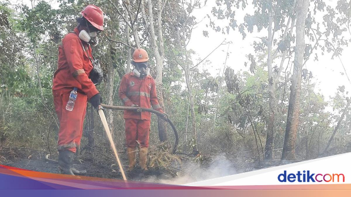
Satellite data from the Meteorology, Climatology and Geophysics Agency (BMKG) as of 20 August 2026 recorded 3,759 hotspots in West Kalimantan. Of that figure, Ketapang Regency has the largest distribution of hotspots.
“Ketapang is the area with the highest distribution of hotspots, reaching 1,795 points, including 81 points with a high confidence level,” said Daniel, Head of the Disaster Information Task Force at the West Kalimantan Regional Disaster Management Agency (BPBD), as reported by detikKalimantan on Saturday (22/8/2026).
This situation is occurring amid forecasts of minimal rainfall until 27 August, meaning the potential for forest and land fires (karhutla) in a number of areas remains high. Of the 3,759 detected hotspots, 224 points have a high confidence level, 3,389 points a medium confidence level, and 146 points a low confidence level.
Besides Ketapang, hotspots were also detected in significant numbers in several other areas. The breakdown is Sanggau with 466 points, Landak 268 points, Kubu Raya 254 points, North Kayong 200 points, and Melawi 190 points.
These forest and land fires not only threaten the spread of burned areas, but the resulting smoke haze is also beginning to affect air quality and visibility.
“Visibility at one point dropped below one kilometre due to thick smoke haze in Ketapang and Kubu Raya regencies in the morning,” he said.
Daniel said that fire handling continues to be strengthened through ground and air operations together with the National Disaster Management Agency (BNPB), the Indonesian National Armed Forces (TNI), the Indonesian National Police (Polri), and Manggala Agni.
Air Quality at Hazardous Level
The large number of hotspots has triggered smoke haze. Air quality shows PM2.5 particulate concentrations at hazardous levels in several areas.
In Sungai Tebelian, Sintang Regency, the PM2.5 concentration was recorded at 309.1 micrograms per cubic metre, while in Sungai Raya, Kubu Raya, it reached 254.1 micrograms per cubic metre. In Jongkat, Mempawah Regency, the PM2.5 concentration was in the unhealthy category at 148.8 micrograms per cubic metre.
In response to these conditions, a number of water bombing helicopters have been deployed to target fire points in areas including Kubu Raya, North Kayong, Ketapang, and Sambas. In addition to firefighting, the government is also carrying out weather modification operations (OMC). A Cessna Grand Caravan 208B aircraft has seeded around 9,000 kilograms of salt out of a total of 10,000 kilograms of seeding material prepared.
Source: jawawa.id (https://jawawa.id/newsitem/3-759-hotspots-in-west-kalimantan-most-in-ketapang-1787367090)
Originally published by detikcom (https://news.detik.com/berita/d-8629582/3-759-hotspot-di-kalbar-paling-banyak-di-ketapang), translated from Indonesian