
24 Hotspots Indicating Forest and Land Fires Detected in Bangka Belitung, South Bangka Leads
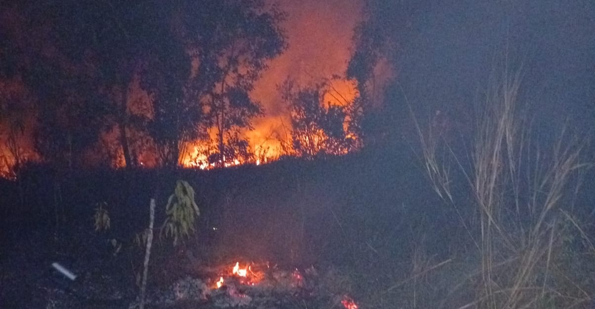
Hotspots suspected to indicate Forest and Land Fires (Karhutla) are beginning to emerge in several areas of Bangka Belitung Islands Province. Based on the latest data, satellites are monitoring dozens of hotspots spread across various regencies.
The Head of the Regional Disaster Management Agency (BPBD) for Bangka Belitung Islands Province, Budi Utama, revealed that according to information from the Meteorology, Climatology, and Geophysics Agency (BMKG), 24 hotspots have currently been detected in the region.
“The 24 hotspots are spread across Bangka with 1 hotspot, West Bangka 2 hotspots, South Bangka 14 hotspots, Central Bangka 1 hotspot, Belitung 4 hotspots, and East Belitung 2 hotspots,” Budi said on Sunday (12/7).
Budi explained that the average accuracy level of these hotspots is at 8, which strongly indicates the occurrence of forest and land fires on the ground. Nevertheless, field teams continue to conduct intensive monitoring and rapid response actions for extinguishing.
One of the latest incidents was reported in Central Bangka Regency on Saturday evening. The fire scorched an area of approximately one hectare. “The source of the fire is not yet known, but the flames were successfully extinguished. The affected land covers roughly one hectare,” Budi stated.
Current weather conditions are considered highly susceptible to triggering larger land fires. Therefore, the BPBD is urging the public to increase their vigilance and refrain from activities that could ignite fires. “We urge residents not to burn rubbish carelessly and not to discard lit cigarette butts. The current weather conditions are very prone to forest and land fires,” he concluded.