
200 Volunteers Trace 4km of Ciputat River to Investigate South Tangerang Flood Causes
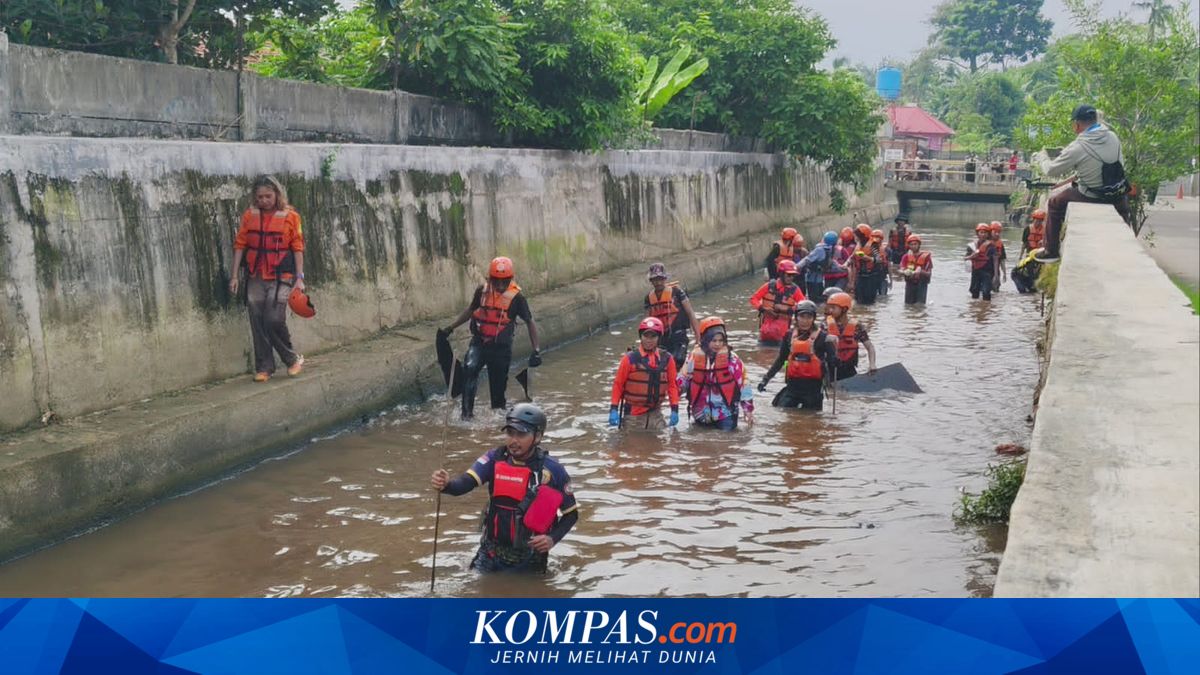
South Tangerang, KOMPAS.com – 200 volunteers, alongside government officials and residents, traced the 4km stretch of the Ciputat River in South Tangerang on Sunday, 31 May 2026.
The survey was conducted to identify the causes of recurring floods in areas surrounding the river.
The activity took place along the Ciputat River, which flows through Pondok Payung Mas and Nerada Estate residential areas.
Wearing boots, life jackets, and other safety gear, the volunteers collected rubbish along the river.
During the survey, volunteers found various types of debris, including plastic, branches, tree trunks, and other materials obstructing water flow.
Collected debris was directed to two netting points set up along the river.
“One is at Pondok Payung Mas Residential Area and the other in Ciputat at Pondok Hijau Residential Area,” said Cipayung Village Head Dini Nurlianti when interviewed by KOMPAS.com at the site.
In addition to rubbish, volunteers also found piles of branches and tree trunks lodged in parts of the river. These materials were cut and removed to prevent blockages.
Dini stated the initiative began with residents wanting to understand the causes of frequent flooding in their area.
“It was initially initiated by the neighbourhood (RT) and community (RW) heads in Cipayung Village as several areas frequently experience flooding. We wanted to inspect the river directly to identify any obstacles causing poor water flow,” Dini added.
Meanwhile, activity initiator Nia said the findings would be documented and analysed before being submitted to the South Tangerang City Government.
As of Sunday afternoon, the survey was ongoing, with volunteers from South Tangerang, Tangerang City, and Jakarta divided into several teams.
The activity also involved local government officials, the Disaster Management Agency (BPBD), Environmental Services Department (DLH), Municipal Police (Satpol PP), academics, and environmental advocacy groups.