
2.5-Metre Waves Threaten Komodo Waters as Harbourmaster Maps 10 Hazardous Spots
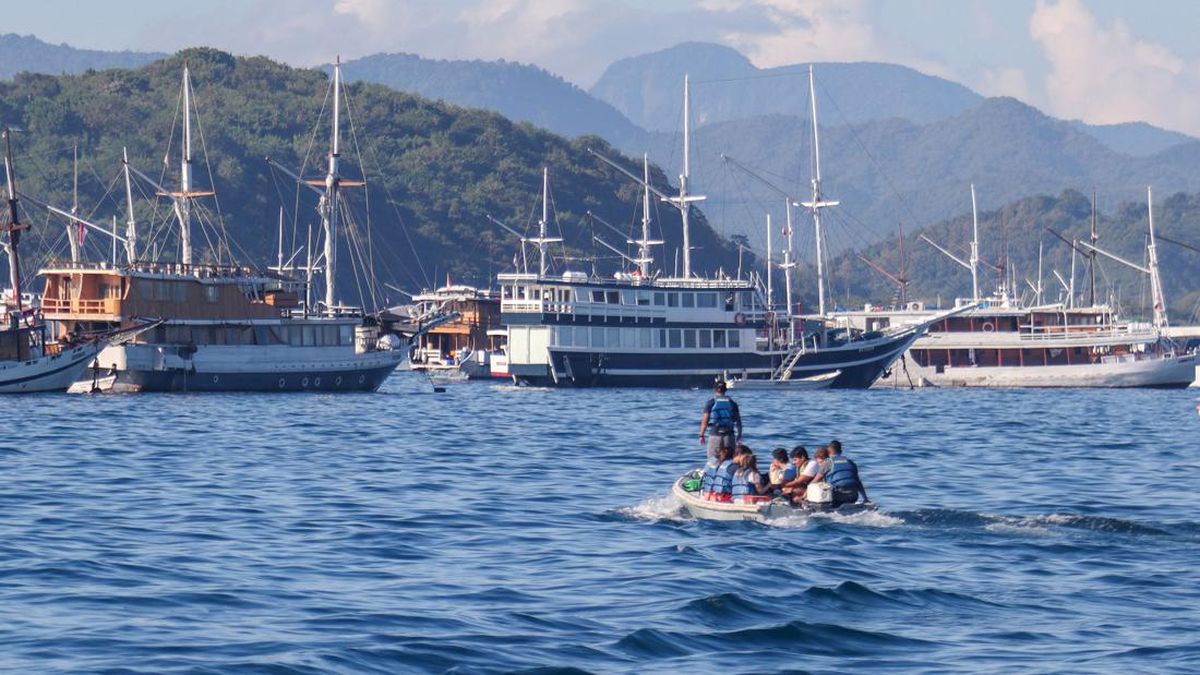
The Class III Labuan Bajo Harbourmaster and Port Authority (KSOP) has issued Shipping Notice No. 01/MP-X/2026, urging sea users to exercise greater caution amid the risk of bad weather in the waters of Komodo National Park and the southern part of the Sape Strait.
Class III Labuan Bajo KSOP chief Stephanus Risdiyanto said the notice was issued as a precaution to protect maritime safety. The authority would not hesitate to delay vessel departures if conditions at sea were deemed unsafe.
“We do not want any unwanted incidents. This weather warning must be the main reference for all captains before they decide to sail. The safety of passengers and crew is our top priority,” Stephanus told CNNIndonesia.com on Saturday (10 October).
“The harbourmaster has full authority to delay the issuance of a Sailing Approval Letter if the weather is not yet safe. We ask all parties to co-operate and not force the issue, for everyone’s safety,” he added.
Stephanus also urged marine tourism operators to share the information with visitors to help ensure trips in the Komodo area remain safe and comfortable.
The notice responds to an early warning from the Meteorology, Climatology and Geophysics Agency’s (BMKG) Tenau Kupang Maritime Meteorological Station about rising wind speeds and waves in the waters of Komodo National Park and the southern Sape Strait on 10–11 October 2026.
The BMKG forecast winds from the north-west to south-west reaching 17–22 knots.
Waves are expected to range from 1.25 to 2.5 metres, with the possibility of higher waves in open waters. Conditions are classified as moderate to high and could increase risks to navigation.
Alongside its weather warning, Labuan Bajo KSOP has published a map and list of 10 locations that captains should treat with caution.
These include the waters around Kelor Island, Batu Tiga, Molo Strait, Padar Strait, Komodo Island, Luwu Island, Kerangga Island, Mauwang Island, Tatawa Island and Siaba Kecil Island.
The locations are known for strong tidal currents, whirlpools, high winds, large waves and reefs that can pose hazards to vessels.
Under the notice, all captains must ensure their vessels are seaworthy, monitor weather developments independently and conduct safety briefings before departure.
Vessels are also prohibited from sailing at night and must avoid hazardous areas. Captains are asked to share information about sea conditions with one another and to report promptly to the authorities if the weather deteriorates.
Source: jawawa.id (https://jawawa.id/newsitem/2-5-metre-waves-threaten-komodo-waters-as-harbourmaster-maps-10-hazardous-spots-1791640272)
Originally published by CNN Indonesia (https://www.cnnindonesia.com/nasional/20261010195304-20-1413938/gelombang-25-meter-intai-perairan-komodo-ksop-petakan-10-titik-rawan), translated from Indonesian