
2,110 Forest and Land Fire Hotspots Identified in Central Kalimantan as of 25 August
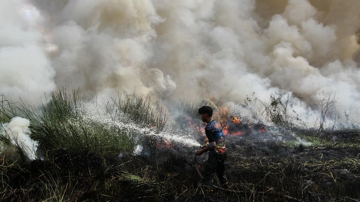
The National Disaster Management Agency (BNPB) has reported 2,110 hotspots of forest and land fires (karhutla) in Central Kalimantan (Kalteng).
“In Central Kalimantan, we found 2,110 hotspots, while fire spots totalled 55 points,” said Berton SP Panjaitan, Acting Head of the BNPB Disaster Data, Information, and Communication Centre, on Wednesday (26/8).
These figures are based on BNPB reports from 25 August 2026, covering the period from 00.00 to 23.59 Western Indonesia Time.
Berton further stated that the estimated burnt area in Central Kalimantan has reached more than 7,634 hectares. However, visibility is still categorised as normal.
“Visibility is normal at above 10 km,” he said.
A number of ground operations have been carried out in Central Kalimantan, focusing on extinguishing fires, limiting fire spread, and cooling affected areas. However, forest and land fires in several locations such as Katingan, Murung Raya, and Lamandau have not yet been extinguished.
Control and mitigation of forest and land fires are also being conducted through aerial operations. BNPB reported two aerial patrol operations and five water bombing operations using helicopters in Central Kalimantan.
In total, 4.6 million litres of water have been used in water bombing operations targeting fire spots.
“These 4.6 million litres were deployed across several sorties in six priority provinces, namely West Kalimantan, Central Kalimantan, South Kalimantan, South Sumatra, Jambi, and Riau,” Berton explained.
Source: jawawa.id (https://jawawa.id/newsitem/2-110-forest-and-land-fire-hotspots-identified-in-central-kalimantan-as-of-25-august-1787748812)
Originally published by CNN Indonesia (https://www.cnnindonesia.com/nasional/20260826175302-20-1396590/ada-2110-hotspot-karhutla-di-kalimantan-tengah-per-25-agustus), translated from Indonesian