
2,056 Hotspots Detected in Sumatra, South Sumatra Highest with 1,378 Points
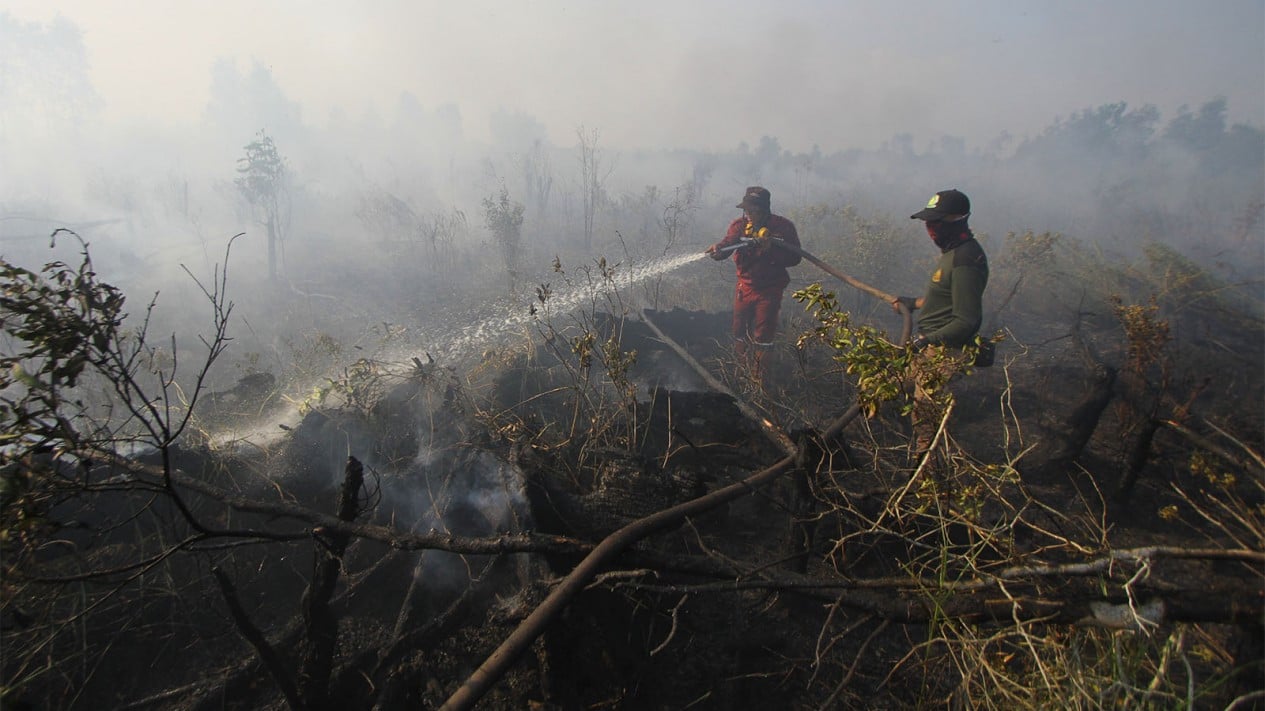
The Meteorology, Climatology, and Geophysics Agency (BMKG) Pekanbaru Station, Riau Province, has detected an increase in hotspots to 2,056 points across Sumatra, with South Sumatra contributing the highest number at 1,378 points.
BMKG Pekanbaru forecaster Gita Dewi S stated that these figures represent updated data as of 07:00 WIB on Monday (21/9). In addition to South Sumatra, high numbers of hotspots were also observed in Jambi (259), Bangka Belitung (246), Lampung (120), and Riau (22).
“Other regions in Sumatra monitored with hotspots include Riau Islands with 21 points, Bengkulu (5), North Sumatra (3), and West Sumatra (2),” she said in Pekanbaru on Monday.
Meanwhile, the distribution of hotspots within Riau spans six areas, with the highest number located in Indragiri Hulu Regency with 8 points, followed by Indragiri Hilir (5), Bengkalis (3), Pelalawan (3), Dumai City (2), and Rokan Hulu (1).
The presence of these hotspots is accompanied by limited visibility in several areas of Riau due to haze. Visibility in Pekanbaru is recorded at 3.5 kilometres and Rengat at 4 km, both affected by smoke. Meanwhile, Pelalawan and Tambang have a visibility of 5 km, also under hazy conditions.
BMKG previously detected the movement of haze that is worsening air quality in Riau Province, noting that it is being transported from the impacts of forest and land fires in Southern Sumatra. This phenomenon is occurring due to wind pushed from the southeast and southwest.
“Based on the wind patterns and smoke distribution imagery we are monitoring, there is potential for smoke to be sent from regions south of Riau. Because smoke moves following the wind direction, the conditions observed in Riau are not only influenced by sources within Riau itself,” said the Head of BMKG Pekanbaru Station, Warjono.