
164 Countries Back Adoption of a New World Map
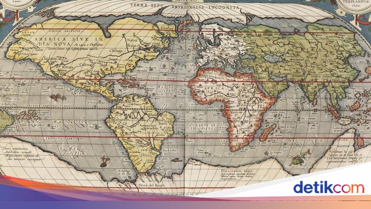
The United Nations General Assembly has approved the use of a new world map with a more realistic scale. The resolution, tabled by Togo, a West African UN member state that is also a member of the African Union, was backed by 164 other UN member countries.
The United States was the only country to oppose the resolution, whilst six others abstained.
Although not binding, the resolution encourages countries and international organisations to make greater use of maps using the Equal Earth projection in future, particularly in situations that do not require angular precision.
On a world map using the Equal Earth projection, Africa appears larger and closer to its actual size compared with the Mercator map, created by Gerhard Mercator, which has been the world standard for centuries.
On the Equal Earth map, the United States appears smaller, closer to its actual geographical proportions.
Maps are never neutral
“Maps shape our understanding of the world,” said Togo’s Foreign Minister Robert Dussey during the debate at the UN General Assembly. Maps are never neutral. There is a risk that a map “conveys a distorted picture of this planet and reinforces mistaken perceptions, which are then passed down from generation to generation”.
After the resolution was adopted, Dussey wrote on social media: “This is about justice, dignity, equality, and the way we depict our world.” Traditional cartography has for too long distorted perceptions of the true size of Africa and other regions of the world. “Fixing the map means fixing the way we see the world,” the Togolese foreign minister said.
Like an orange peel laid on a flat surface
The United States, by contrast, described the proposal as an “ideological” project that distracts from real international problems. The background to this debate lies in the problem of cartography itself.
In a two-dimensional depiction of the Earth, the surface of a sphere is transformed onto a flat plane, like an orange peel pressed onto a flat surface. For geometric reasons, this cannot be done without distortion.
So no map is accurate in every respect. Mapmakers must decide which aspects matter most to them. A map can accurately depict contours and compass directions, which was once vital for maritime navigation. In return, the areas of regions, or their size ratios, become distorted.
Greenland appears enormous on the map
This is what happens with the Mercator projection. Under Mercator’s projection, the further a region lies from the equator, the larger it appears on the map. On such a map, Greenland’s area is roughly equal to that of the entire African continent, even though in reality Africa is fourteen times larger.
The public can choose a more accurate alternative in terms of land area, following the Equal Earth projection just approved by the UN General Assembly. On this map, size ratios are depicted according to their true scale. This resolves the problem of Greenland appearing so vast. However, another consequence of the Equal Earth map is that shapes and angle ratios sometimes do not correspond to actual conditions.
Every map representation has its own strengths and weaknesses, depending on the purpose of its use, and therefore has its own rationale. For navigation, the Mercator map remains useful.
In the field of education, there is another highly pragmatic solution that attracts no debate: representing the Earth as a globe, to introduce pupils to its shape as a whole.