
14 Mountains in East Java Burned During 2026 Dry Season
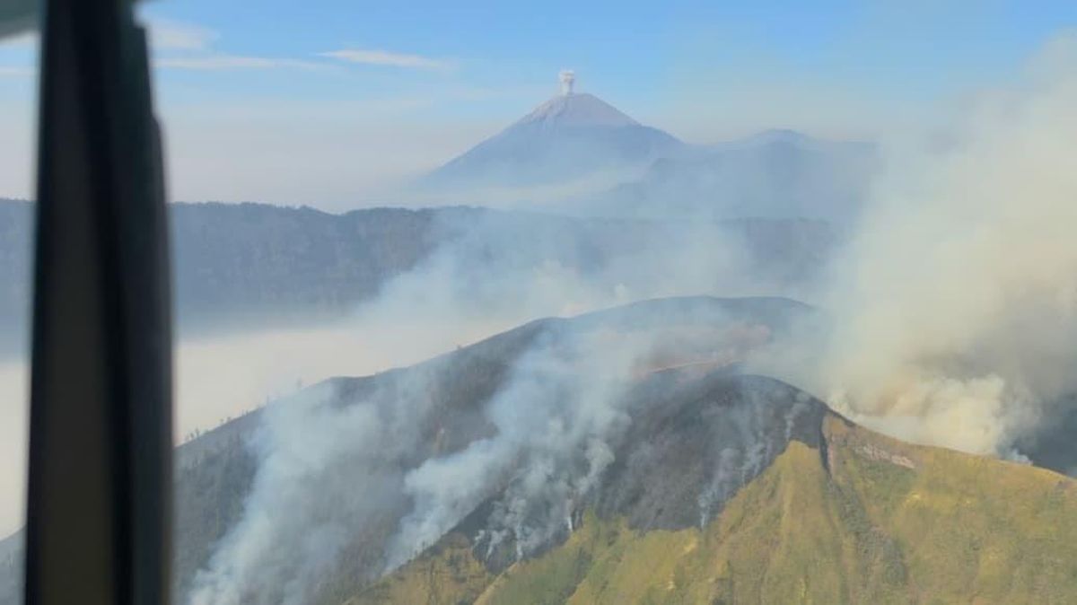
The East Java Provincial Disaster Management Agency (BPBD) has recorded that at least 14 mountainous areas in the East Java region have experienced forest and land fires (karhutla) during the 2026 dry season.
Muhammad Amrul, Head of the East Java BPBD Operations Control Centre Team, detailed the dozen areas reported to be affected during this current dry season. “The list of mountains in East Java hit by fires during the 2026 period or this dry season includes Mount Semeru, Mount Arjuno-Welirang, Mount Bromo, Mount Buthak, Mount Kawinajang, Mount Wilis, Mount Argopuro, Mount Ijen, Mount Raung, Mount Pegat, Mount Payaman, Mount Gede Blitar, Mount Ndangean, and Mount Lawu,” Amrul stated on Thursday (17/9).
Nevertheless, the total area of land affected by these fires across the 14 mountain areas is still being assessed.
Meanwhile, the Head of the Emergency and Logistics Division of the East Java BPBD, Satriyo Nursadam, provided the latest data on fire management progress across five operational points. Some areas have been declared extinguished, while others remain active.
The first area is Mount Bromo in Probolinggo Regency. Firefighting operations and weather modification in the region have yielded positive results, and the fire has been confirmed to be completely extinguished after burning a significant area. “Based on monitoring results, there are currently no fire hotspots. The burnt area is approximately 200 hectares,” Satriyo reported.
In contrast to Bromo, fires in the Mount Kawinajang and Mount Buthak areas, spanning the Blitar and Malang Regencies, are reported to still be active. Flames are still observed, having already burnt hundreds of hectares of forest. “Fire hotspots are currently located in the Mount Buthak area, specifically above Mount Malang, and the southern side of Mount Kawinajang. The burnt area is approximately 800 hectares. Data is still developing,” he said.
Moving to the Pasuruan Regency area, the fire at Bukit Keciri, suspected to have spread from Bukit Watangan, shows very good progress. The fire at that location is confirmed to be extinguished, though the team has yet to conclude the total area of damaged land. “Based on satellite imagery monitoring, no fire hotspots are currently detected in the Bukit Keciri area. The impact is still being assessed,” he noted.
Furthermore, firefighting operations in the Mount Lawu area have two different statuses. The fire that entered the Magetan Regency area has been successfully extinguished. “The fire hotspot at Watu Gede, Magetan Regency, is reported to have been extinguished. Currently, no fire hotspots are detected in the Mount Lawu area of Magetan Regency,” he said.
However, joint teams on Mount Lawu are still focusing on chasing fire hotspots that have entered the Ngawi Regency area, as they have not yet been extinguished. The burnt area in this region is still small-scale but remains at risk of spreading. “The fire hotspots currently being prioritised are in the Ngawi Regency area, specifically Plot 41 and Plot 42D. The burnt area is approximately 2 hectares,” he said.
The final area in the report is Mount Wilis in Nganjuk Regency. Fire hotspots in this area are confirmed to be still active as operations are hindered by access issues. The total area of burnt land has not yet been measurable by officers on the ground.