
123 Hotspots Indicating Forest and Land Fires Detected in Riau
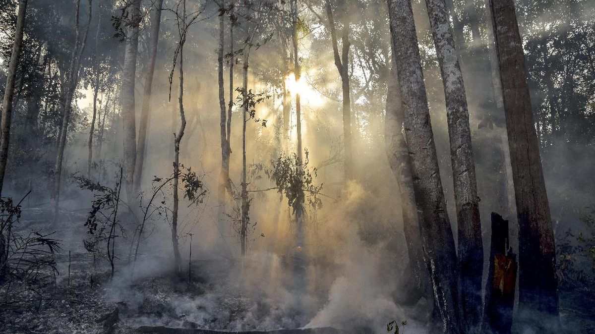
The Regional Leadership Coordination Forum (Forkopimda) conducted an aerial inspection of several areas with a concentration of forest and land fire hotspots in Riau Province on Wednesday. The aerial surveillance was based on the latest data from the Lancang Kuning Dashboard (DLK), which showed a total of 123 hotspots. The aerial monitoring, carried out together with Riau Police Chief Inspector General Herry Heryawan, targeted several areas with hotspot concentrations. The monitoring was conducted to assess actual conditions and ensure that forest and land fire handling proceeds swiftly and in a coordinated manner.
Riau Police Public Relations Head Commissioner Akmadi stated that the aerial inspection was a follow-up to the increase in the number of hotspots detected in several areas of Riau. “The Police Chief, together with Forkopimda, conducted a direct aerial inspection to see the actual conditions in areas detected to have hotspots. Data from the Lancang Kuning Dashboard serves as one basis for determining areas of concern and handling priorities,” said Akmadi in his statement. Based on DLK monitoring up to 06.00 WIB, there were 123 hotspots in Riau Province, consisting of 3 low-category hotspots, 119 medium-category, and one high-category hotspot.
According to Akmadi, primary attention is currently directed at Indragiri Hulu, Siak, and Indragiri Hilir as they have the highest hotspot concentrations. Additionally, handling is also focused on the Pinggir Subdistrict area in Bengkalis Regency, particularly the area bordering Kandis Subdistrict in Siak Regency. The largest concentration was in Indragiri Hulu Regency with 42 hotspots, comprising 3 low, 38 medium, and one high category. Meanwhile, 34 hotspots were detected in Siak Regency and 25 hotspots in Indragiri Hilir. Other hotspots were scattered across Pelalawan with 7 points, Kampar 5 points, Kuantan Singingi 4 points, Kepulauan Meranti 3 points, Bengkalis 2 points, and Dumai City 1 point.
Akmadi explained that the presence of hotspots does not necessarily indicate that all points are active fires. Therefore, regional units have been ordered to conduct field checks and verification to ascertain the actual conditions. “This aerial monitoring also ensures that the data received at the command post is genuinely followed up on the ground. Units have been mobilised to conduct verification, patrols, extinguishing, and cooling down according to the conditions in each respective area,” Akmadi clarified. He added that the Riau Police continue to coordinate with the regional government, the Indonesian National Armed Forces, the Regional Disaster Management Agency and all relevant elements in handling forest and land fires. All subregional police forces have also been requested to increase monitoring via the Lancang Kuning Dashboard and strengthen patrols in vulnerable areas. Participating in the aerial monitoring were Acting Riau Governor SF Hariyanto, Riau High Prosecutor’s Office Head I Dewa Gede Wirajana, Chief of Staff to the XIX/Tuanku Tambusai Regional Military Command Brigadier General TNI M. Yahya, and Head of the Riau Province BPBD Edy Afrizal.