
12 Lesser-Known Google Maps Features for the Tourism Industry
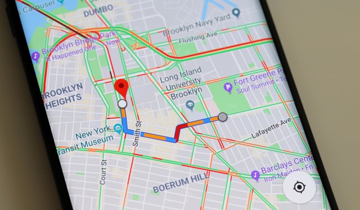
Google Maps is no longer just a standard navigation application. With the launch of the Gemini-based AI feature, ‘Ask Maps’, in Indonesia on 6 August 2026, the application has transformed into a powerful research assistant for professionals in the tourism industry.
Here are 12 lesser-known but highly useful Google Maps features to simplify the work of tour guides, travel planners, and tour operators:
Ask Maps: This latest feature allows users to create itineraries using natural language. You can ask, “find family-friendly tourist attractions near Malioboro that are not too crowded,” and Ask Maps will provide real-time recommendations along with current traffic conditions.
Shared Lists: You can create lists of hotels, restaurants, or meeting points and share them with your team or clients. This feature supports collaboration, allowing other team members to add locations and organise them according to the visit sequence.
Multi-stop Directions: Within the Directions menu, users can add up to nine stops at once. This feature is crucial for efficiently organising daily tour routes without having to create individual navigations.
Depart/Arrival Time Estimation: Do not wait until the day of the trip to check travel duration. You can input future departure dates and times to obtain estimated travel times based on historical traffic data and public transport schedules.
Offline Maps: Highly relevant for trips to tourist villages or mountainous areas with weak signals. You can download specific areas in advance so that navigation remains functional even without an internet connection.
Street View: Tour leaders do not always need to visit a location to check bus access or building structures. Street View provides a real visual overview, and the “see other dates” feature is available to compare location conditions from year to year.
Measure Distance: This feature allows for the manual measurement of straight-line distances between points. It is useful for tourism area managers to estimate distances between facilities or determine the area of meeting points.
Popular Times: Avoid crowds by monitoring the popularity graphs of a location. This data helps tour operators determine the best time to visit culinary centres or popular attractions to ensure tourist comfort.
Real-time Location Sharing: While navigation is active, your current position and Estimated Time of Arrival (ETA) can be shared in real-time. This feature makes it easier for hotel staff or pickup teams to monitor group movements accurately.
Plus Codes: A Plus Code is a digital address for specific points that lack a clear street address, such as pier entrances or camping grounds. These codes are highly accurate for sharing as group meeting points.
Google Lens Integration: Simply point your phone camera at a building or landmark via the Lens feature within Maps. The application will immediately identify the place and provide detailed information, which is very helpful during surveys in new areas.
Immersive View: This feature provides a 3D representation of specific routes or locations, complete with weather simulations. Travel planners can use it to conduct virtual “site inspections” to see the environmental atmosphere before including it in a tour package.
Google Maps integrates data from various sources, including satellite imagery, road maps, information from governments and businesses, and user contributions. Users can easily view maps, get directions, find places, and explore various locations worldwide in real-time.
Google Maps has also recently established a partnership with the Jabodetabek KRL (commuter rail) to provide real-time monitoring features regarding train arrivals and routes. These features can assist users facing travel disruptions due to bad weather, such as flooded roads, low visibility, or unpaved routes.